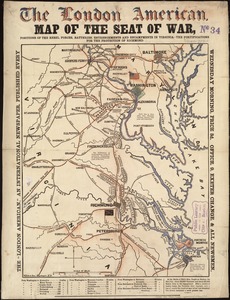
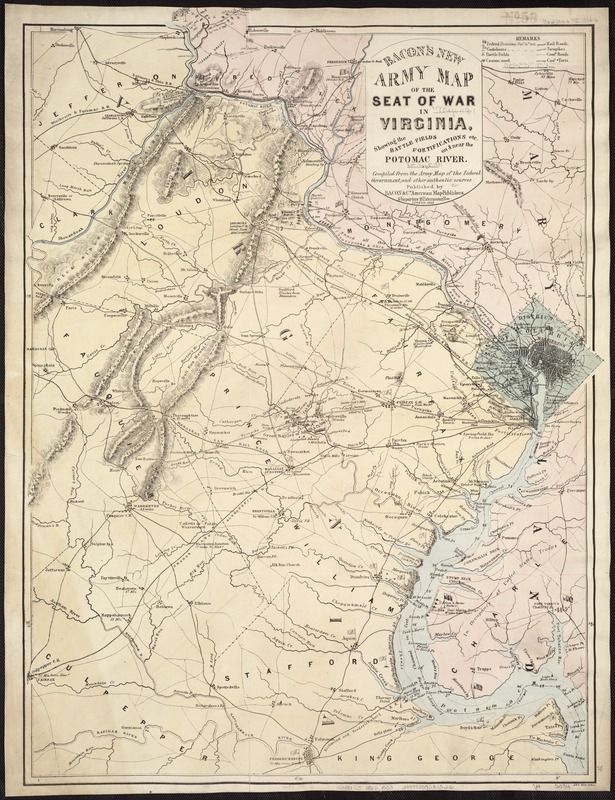
Bacon's new army map of the seat of war in Virginia, showing the battle fields, fortifications, etc., on & near the Potomac River
Item Information
- Title:
- Bacon's new army map of the seat of war in Virginia, showing the battle fields, fortifications, etc., on & near the Potomac River
- Creator:
- Bacon & Co
- Name on Item:
-
Compiled from the army map of the Federal Government, and other authentic sources.
- Date:
-
1862
- Format:
-
Maps/Atlases
- Location:
-
Boston Public Library
Norman B. Leventhal Map Center - Collection (local):
-
Norman B. Leventhal Map Center Collection
- Subjects:
-
Fortification--Virginia
Virginia--History--Civil War, 1861-1865--Maps
- Places:
-
Virginia
- Extent:
- 1 map : col. ; 75 x 55 cm.
- Terms of Use:
-
No known copyright restrictions.
No known restrictions on use.
- Publisher:
-
London :
Bacon & Co.
- Scale:
-
Scale ca. 1:180,000.
- Language:
-
English
- Notes:
-
Map of northeast Virginia, Washington, D.C., and part of Maryland showing the location and date of engagements, battles in which cannons were used, country names and boundaries, roads, railroads, towns, drainage, hachures, and a few soundings in the Potomac River. Positions held by Union and Confederate forces are marked by flags.
Description derived from published bibliography.
- Identifier:
-
06_01_007431
- Call #:
-
G3881.S5 1862 .B33
- Barcode:
-
39999059031326
- LCCN:
-
99448473