Map of the State of Virginia
Item Information
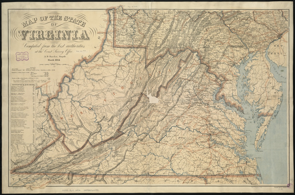
- Title:
- Map of the State of Virginia
- Creator:
- Nicholson, W. L.
- Name on Item:
-
compiled from the best authorities, at the Coast Survey Office ; A.D. Bache, Supdt. ; Compiled by W.L. Nicholson.
- Date:
-
1864
- Format:
-
Maps/Atlases
- Location:
-
Boston Public Library
Norman B. Leventhal Map Center - Collection (local):
-
Norman B. Leventhal Map Center Collection
- Subjects:
-
Virginia--Maps
Maryland--Maps
West Virginia--Maps
Delaware--Maps
- Places:
-
Virginia
West Virginia
Maryland
Delaware
- Extent:
- 1 map : col. ; 58 x 88 cm.
- Terms of Use:
-
No known copyright restrictions.
No known restrictions on use.
- Publisher:
-
S.l :
[s.n.]
- Edition:
- March 1864.
- Scale:
-
Scale ca. 1:887,040.
- Language:
-
English
- Notes:
-
Lith. by Chas. G. Krebs.
General map of Virginia, West Virginia, Maryland, Delaware, and southern Pennsylvania showing cities and towns, roads, rivers, and relief by hachures. The map is overprinted in red to indicate railroads, the state name "West Virginia," and concentric circles centered on Washington, D.C. A table of "Distances by Railroads" appears below the map title.
Description derived from published bibliography.
- Identifier:
-
06_01_007379
- Call #:
-
G3880 1864 .N53x
- Barcode:
-
39999059030781


