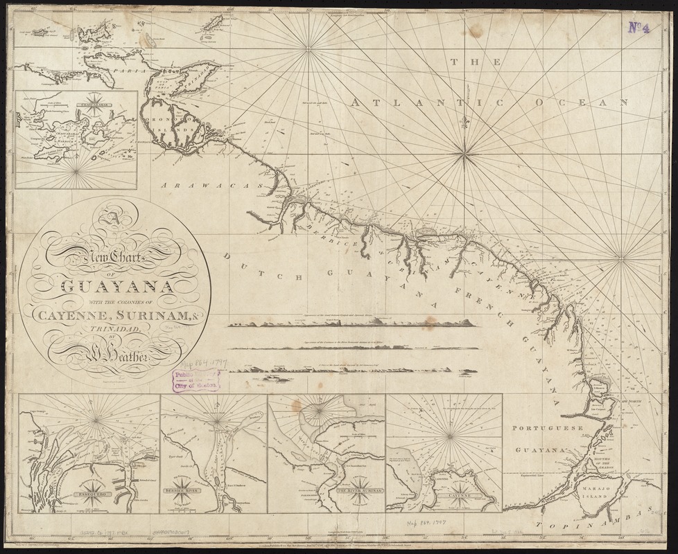
A new chart of Guyana with the colonies of Cayenne, Surinam, & Trinadad
This map is also available in American Revolutionary Geographies Online (ARGO), a collections portal especially built for material relating to the American Revolutionary War Era. Visit ARGO to learn more about this item and explore the historical geography of North America in the late eighteenth century.
Item Information
- Title:
- A new chart of Guyana with the colonies of Cayenne, Surinam, & Trinadad
- Creator:
- Heather, William, 1764-1812
- Name on Item:
-
by W. Heather.
- Date:
-
1797
- Format:
-
Maps/Atlases
- Location:
-
Boston Public Library
Norman B. Leventhal Map & Education Center - Collection (local):
-
Norman B. Leventhal Map & Education Center Collection
- Subjects:
-
Coasts--Guiana--Maps--Early works to 1800
Atlantic Coast (Guiana)--Maps--Early works to 1800
Cayenne (French Guiana)--Maps--Early works to 1800
Suriname--Maps--Early works to 1800
Trinidad--Maps--Early works to 1800
- Places:
-
Guiana (area)
Suriname
French Guiana (territory)Cayenne
Trinidad and TobagoTrinidad (island)
- Extent:
- 1 chart ; 64 x 77 cm.
- Terms of Use:
-
No known copyright restrictions.
No known restrictions on use.
- Publisher:
-
London :
W. Heather
- Scale:
-
Scale ca. 1: 2,300,000.
- Language:
-
English
- Notes:
-
Relief shown by hachures. Depths shown by soundings.
Engraved by J. Stephenson.
Insets: Chaguaramas; Essequebo; Berbice River; The River Surinam; Cayenne.
includes 4 coastal views.
Cataloging, conservation, and digitization made possible in part by The National Endowment for the Humanities: Exploring the human endeavor.
- Identifier:
-
06_01_007300
- Call #:
-
G5242.C6 1797 .H43x
- Barcode:
-
39999059030617


