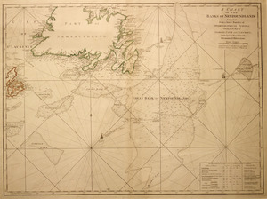
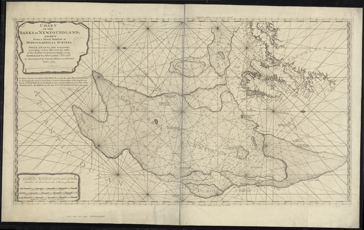
Chart of the banks of Newfoundland, drawn from a great number of hydrographical surveys, these charts are followed, according to them executed by order of the Lords Commissioners of the Admiralty in England
Item Information
- Title:
- Chart of the banks of Newfoundland, drawn from a great number of hydrographical surveys, these charts are followed, according to them executed by order of the Lords Commissioners of the Admiralty in England
- Creator:
- Keulen, Gerard Hulst van, 1733-1801
- Date:
-
1783
- Format:
-
Maps/Atlases
- Location:
-
Boston Public Library
Norman B. Leventhal Map Center - Collection (local):
-
Norman B. Leventhal Map Center Collection
- Subjects:
-
Nautical charts--Grand Banks of Newfoundland--Early works to 1800
Grand Banks of Newfoundland--Maps--Early works to 1800
- Places:
-
Grand Banks of Newfoundland
- Extent:
- 1 chart ; 60 x 109 cm.
- Terms of Use:
-
No known copyright restrictions.
No known restrictions on use.
- Publisher:
-
Amsterdam :
Gerard Hulst van Keulen
- Scale:
-
Scale ca. 1:1,650,000.
- Language:
-
English
Dutch
- Notes:
-
Depths shown by soundings.
Appears in the author's untitled Sea Atlas of The Atlantic Seaboard of North America. [Amsterdam : Gerard Hulst van Keulen, 1785].
Cataloging, conservation, and digitization made possible in part by The National Endowment for the Humanities: Exploring the human endeavor.
- Identifier:
-
06_01_007270
- Call #:
-
G9112.G65 1783 .K48x
- Barcode:
-
39999059030518