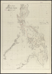
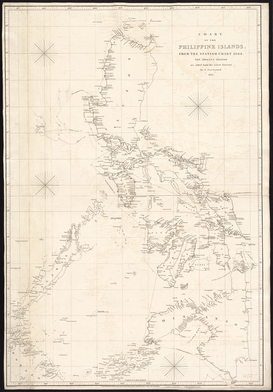
Chart of the Philippine Islands, from the Spanish chart 1808 : the adjacent islands are added from the latest surveys
Item Information
- Title:
- Chart of the Philippine Islands, from the Spanish chart 1808 : the adjacent islands are added from the latest surveys
- Creator:
- Arrowsmith, Aaron, 1750-1823
- Name on Item:
-
by A. Arrowsmith ; engraved by E. Jones.
- Date:
-
1812
- Format:
-
Maps/Atlases
- Location:
-
Boston Public Library
Norman B. Leventhal Map Center - Collection (local):
-
Norman B. Leventhal Map Center Collection
- Subjects:
-
Nautical charts--Philippines
Philippines--Maps
- Places:
-
Philippines
- Extent:
- 1 chart ; 96 x 65 cm.
- Terms of Use:
-
No known copyright restrictions.
No known restrictions on use.
- Publisher:
-
London :
A. Arrowsmith
- Scale:
-
Scale ca. 1:1,660,000.
- Language:
-
English
- Notes:
-
Depths shown by soundings.
Cataloging, conservation, and digitization made possible in part by The National Endowment for the Humanities: Exploring the human endeavor.
- Identifier:
-
06_01_007172
- Call #:
-
G8060 1812 .A77x
- Barcode:
-
39999059030062