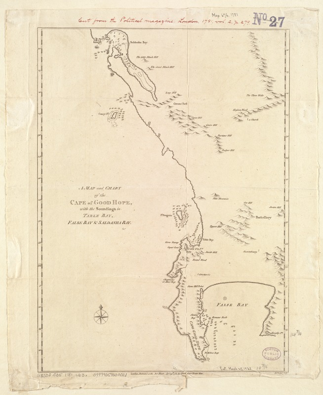
A Map and chart of the Cape of Good Hope, with the soundings in Table Bay, False Bay and Saldanha Bay
Item Information
- Title:
- A Map and chart of the Cape of Good Hope, with the soundings in Table Bay, False Bay and Saldanha Bay
- Creator:
- Lodge, John, d. 1796
- Name on Item:
-
Jno.Lodge sculp.
- Date:
-
1781
- Format:
-
Maps/Atlases
- Location:
-
Boston Public Library
Norman B. Leventhal Map Center - Collection (local):
-
Norman B. Leventhal Map Center Collection
- Subjects:
-
Cape of Good Hope (South Africa)--Maps--Early works to 1800
- Places:
-
Cape of Good Hope
- Extent:
- 1 map ; 38 x 27 cm.
- Terms of Use:
-
No known copyright restrictions.
No known restrictions on use.
- Publisher:
-
London :
J. Bew
- Scale:
-
Scale not given.
- Language:
-
English
- Notes:
-
Relief shown pictorially. Depths shown by soundings.
Appears in the Political Magazine. London: J. Bew, 1781. Vol. 2, p.279.
- Identifier:
-
06_01_007153
- Call #:
-
G8502.C35 1781 .L63x
- Barcode:
-
39999059030021


