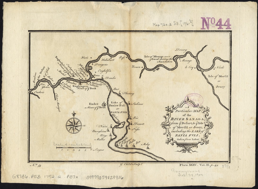
A particular map of the River Sanaga, from ye desart, to ye Isle of Morfil or Jvory, including the Lake of Pania Fuli
This map is also available in American Revolutionary Geographies Online (ARGO), a collections portal especially built for material relating to the American Revolutionary War Era. Visit ARGO to learn more about this item and explore the historical geography of North America in the late eighteenth century.
Item Information
- Title:
- A particular map of the River Sanaga, from ye desart, to ye Isle of Morfil or Jvory, including the Lake of Pania Fuli
- Name on Item:
-
taken from Labat ; G. Child, Sculpt.
- Date:
-
[1752?]
- Format:
-
Maps/Atlases
- Location:
-
Boston Public Library
Norman B. Leventhal Map Center - Collection (local):
-
Norman B. Leventhal Map Center Collection
- Subjects:
-
Guiers, Lac de (Senegal)--Maps--Early works to 1800
Senegal River--Maps--Early works to 1800
- Places:
-
SenegalSaint-Louis (region)Guier, Lac de
Sénégal Fleuve (river)
- Extent:
- 1 map ; 22 x 14 cm.
- Terms of Use:
-
No known copyright restrictions.
No known restrictions on use.
- Publisher:
-
London :
Printed for Richard Baldwin
- Scale:
-
Scale [ca. 1:805,000].
- Language:
-
English
- Notes:
-
Shows rivers, lakes and settlements.
Part of West Africa showing River Sanaga and its tributaries.
Numbered No. 53 ; Plate XXXV. Vol. II. p. 49.
Imprint derived from published bibliography.
Appears in Thomas Salmon's Universal Traveller. London: Printed for Richard Baldwin, 1752-53.
- Identifier:
-
06_01_007139
- Call #:
-
G8742.S4 1752 .P37x
- Barcode:
-
39999059029916


