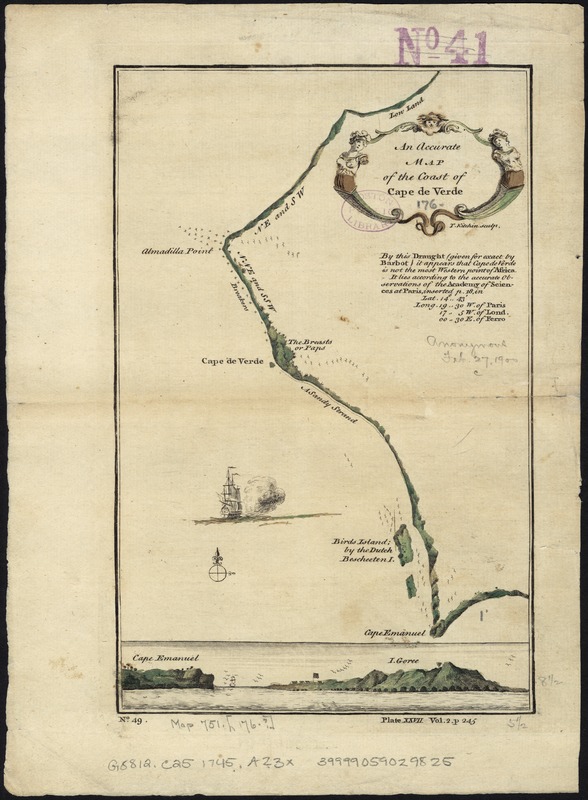
An accurate map of the coast of Cape de Verde
Item Information
- Title:
- An accurate map of the coast of Cape de Verde
- Name on Item:
-
T. Kitchin sculp.
- Date:
-
[1745?–1747?]
- Format:
-
Maps/Atlases
- Location:
-
Boston Public Library
Norman B. Leventhal Map Center - Collection (local):
-
Norman B. Leventhal Map Center Collection
- Subjects:
-
Cape Verde Peninsula (Senegal)--Maps--Early works to 1800
- Places:
-
SenegalDakar (region)Vert, Cap
- Extent:
- 1 map : col. ; 20 x 14 cm.
- Terms of Use:
-
No known copyright restrictions.
No known restrictions on use.
- Publisher:
-
London :
Printed for T. Astley
- Scale:
-
Scale not given.
- Language:
-
English
- Notes:
-
Relief shown pictorially.
Numbered No. 49, Plate XXVII, Vol. 2. p. 245.
Includes coastal view of Cape Emanuel to I. Goree.
Appears in John Green's A new general collection of voyages and travels; consisting of the most esteemed relations ... London: Printed for Thomas Astley, 1745-1747.
- Identifier:
-
06_01_007127
- Call #:
-
G8812.C25 1745 .A23x
- Barcode:
-
39999059029825


