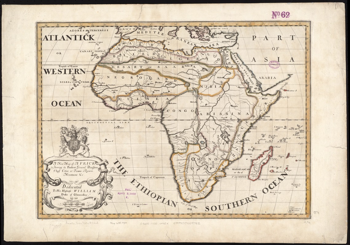
A new map of Africk : shewing its present general divisions cheif cities or towns, rivers, mountain &c. : dedicated to His Highness William, Duke of Gloucester
Item Information
- Title:
- A new map of Africk : shewing its present general divisions cheif cities or towns, rivers, mountain &c. : dedicated to His Highness William, Duke of Gloucester
- Creator:
- Wells, Edward, 1667-1727
- Name on Item:
-
R. Spofforth sculp.
- Date:
-
[1700]
- Format:
-
Maps/Atlases
- Location:
-
Boston Public Library
Norman B. Leventhal Map Center - Collection (local):
-
Norman B. Leventhal Map Center Collection
- Subjects:
-
Africa--Maps--Early works to 1800
- Places:
-
Africa
Africa
- Extent:
- 1 map : col. ; 36 x 50 cm.
- Terms of Use:
-
No known copyright restrictions.
No known restrictions on use.
- Publisher:
-
Oxford :
Printed at the Theater
- Scale:
-
Scale ca. 1:25,000,000.
- Language:
-
English
- Notes:
-
Relief shown pictorially.
Appears in the author's A new sett of maps both of antient and present geography. Oxford: Printed at the Theater, 1700.
Cataloging, conservation, and digitization made possible in part by The National Endowment for the Humanities: Exploring the human endeavor.
- Notes (date):
-
This date is inferred.
- Identifier:
-
06_01_007115
- Call #:
-
G8200 1700 .W45x
- Barcode:
-
39999059029742


