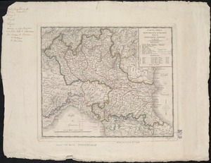
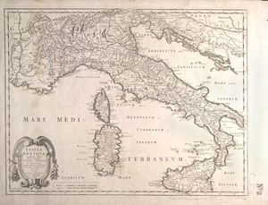
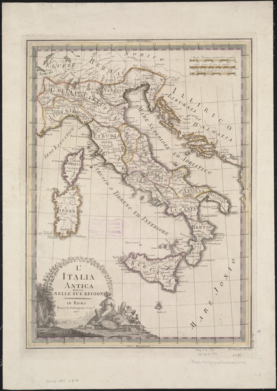
L'Italia antica divisa nelle sue regioni
Item Information
- Title:
- L'Italia antica divisa nelle sue regioni
- Creator:
- Cassini, Gio. Ma. (Giovanni Maria), 1745-ca. 1824
- Date:
-
[1801]
- Format:
-
Maps/Atlases
- Location:
-
Boston Public Library
Norman B. Leventhal Map Center - Collection (local):
-
Norman B. Leventhal Map Center Collection
- Subjects:
-
Italy--Maps--Early works to 1800
- Places:
-
Italy
- Extent:
- 1 map : col. ; 30 x 44 cm.
- Terms of Use:
-
No known copyright restrictions.
No known restrictions on use.
- Publisher:
-
Rome :
Presso la Calcografia Camerale
- Scale:
-
Scale ca. 1:3,000,000.
- Language:
-
Italian
- Notes:
-
Relief shown pictorially.
In upper right margin: "Tom. III. no. 50."
Map dated 1800.
Appears in the author's Nuovo atlante geographico universale delineato sulle ultime osservazioni. Rome: Calcografia Camerale, 1801. Vol. 3, no. 50.
- Notes (date):
-
This date is inferred.
- Identifier:
-
06_01_007097
- Call #:
-
G6710 1800 .C37x
- Barcode:
-
39999059029577