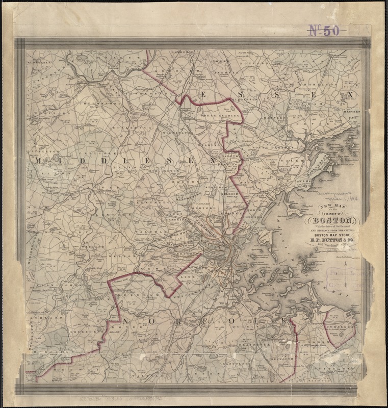
New map of the vicinity of Boston, with the dates of settlement and distance from the capital
Item Information
- Title:
- New map of the vicinity of Boston, with the dates of settlement and distance from the capital
- Creator:
- E.P. Dutton (Firm)
- Name on Item:
-
Boston Map Store ; E.P. Dutton & Co.
- Date:
-
[ca. 1860]
- Format:
-
Maps/Atlases
- Location:
-
Boston Public Library
Norman B. Leventhal Map Center - Collection (local):
-
Norman B. Leventhal Map Center Collection
- Subjects:
-
Boston (Mass.)--Maps
1860
- Places:
-
Suffolk (county)Boston
- Extent:
- 1 map : col. ; 37 x 38 cm.
- Terms of Use:
-
No known copyright restrictions.
No known restrictions on use.
- Publisher:
-
Boston, Mass :
Boston Map Store, E.P. Dutton & Co.
- Scale:
-
Scale 1:158,400
- Language:
-
English
- Notes:
-
Shows railways.
- Identifier:
-
06_01_007043
- Call #:
-
G3764.B6 1860 .E6
- Barcode:
-
39999058996792


