Map of Liberia
Item Information
- Title:
- Map of Liberia
- Description:
-
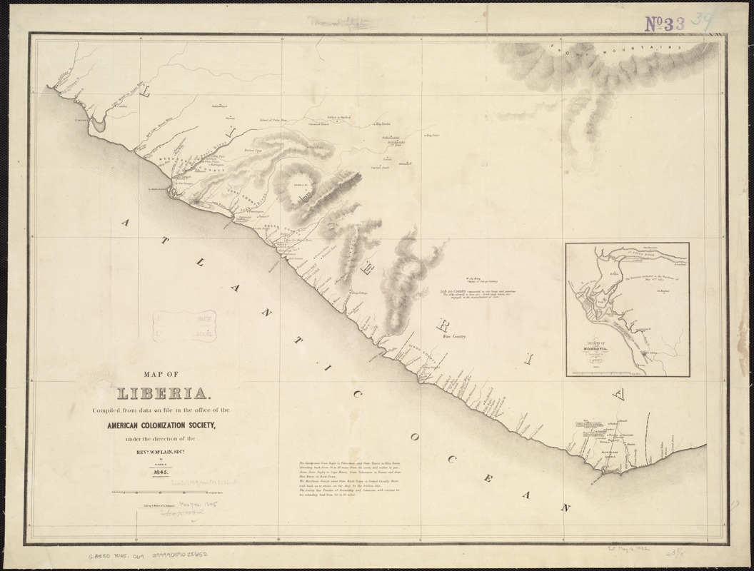
Besides escaping to the North, another alternative for freed slaves was “colonization“ or resettlement in Africa. Several organizations were founded to encourage and assist with this relocation, but this was not a universally appealing choice. The American Colonization Society, organized in 1816 in Washington, DC, assisted thousands of emancipated slaves in returning to Africa. The Society established the colony of Liberia, named from the Latin word for “free,“ on the west coast of Africa as a homeland for former slaves from the United States. An 1845 map of Liberia published by the Society shows that many place names were of African origin. However, several reflect a strong American influence, as does Monrovia, named for President James Monroe.
- Creator:
- Coyle, Randolph.
- Name on Item:
-
compiled from data on file in the office of the American Colonization Society, under the direction of the Revd. W. McLain, secy., by R. Coyle.
- Date:
-
1845
- Format:
-
Maps/Atlases
- Location:
-
Boston Public Library
Norman B. Leventhal Map Center - Collection (local):
-
Norman B. Leventhal Map Center Collection
- Subjects:
-
Liberia--Maps
Monrovia (Liberia)--Maps
- Places:
-
Liberia
Montserrado (county)Monrovia
- Extent:
- 1 map ; 44 x 61 cm.
- Terms of Use:
-
No known copyright restrictions.
No known restrictions on use.
- Publisher:
-
Baltimore [Md.] :
Lith. by E. Weber & Co.
- Scale:
-
Scale [ca. 1:800,000]
- Language:
-
English
- Notes:
-
Relief shown by hachures.
Includes text.
Inset: Vicinity of Monrovia / surveyed by J. Ashmun, 1825.
- Notes (exhibitions):
-
Exhibited: "Torn in Two: The 150th Anniversary of the Civil War" organized by the Norman B. Leventhal Map Center at the Boston Public Library, 2011.
- Identifier:
-
06_01_006846
- Call #:
-
G8880 1845 .C69
- Barcode:
-
39999059028652
- LCCN:
-
96684984


