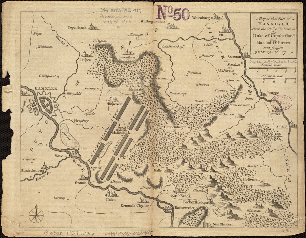
Map of that part of Hannover where the late battle between the Duke of Cumberland and Marshal D'Etrees was fought July 25, 26, 27
Item Information
- Title:
- Map of that part of Hannover where the late battle between the Duke of Cumberland and Marshal D'Etrees was fought July 25, 26, 27
- Date:
-
[1757?]
- Format:
-
Maps/Atlases
- Location:
-
Boston Public Library
Norman B. Leventhal Map Center - Collection (local):
-
Norman B. Leventhal Map Center Collection
- Subjects:
-
Hastenbeck (Germany), Battle of, 1757
Seven Years' War, 1756-1763--Campaigns--Germany--Maps
Hanover (Germany : Province)--Maps--Early works to 1800
Lower Saxony (Germany)--Maps--Early works to 1800
- Places:
-
Lower Saxony
- Extent:
- 1 map ; 20 x 26 cm.
- Terms of Use:
-
No known copyright restrictions.
No known restrictions on use.
- Publisher:
-
London? :
s.n.
- Scale:
-
Scale [ca. 1:190,080].
- Language:
-
English
- Notes:
-
Relief shown by hachures and pictorially.
From: Gentleman's Magazine, and Historical Chronicle, vol. 27, 1757.
- Identifier:
-
06_01_006819
- Call #:
-
G6320 1757 .M36
- Barcode:
-
39999059028405
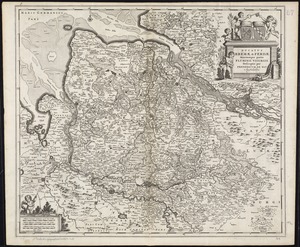
![Ducatus Brunsvicensis fere[que] Lunaeburgensis, cum adjacentibus Episcopatibus, Comit. Domin. etc., descriptio geographica](https://bpldcassets.blob.core.windows.net/derivatives/images/commonwealth:cj82kr74v/image_thumbnail_300.jpg)