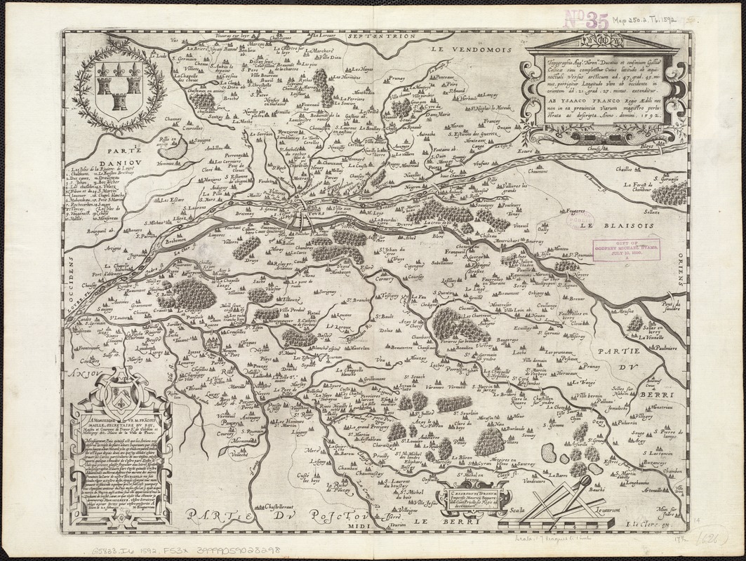
Topographia aug. Turon. ducatus et confinium Galliae celticae sinu complectitur cuius latitudo ab aequinoctiali versus arcticum... extenditur
Item Information
- Title:
- Topographia aug. Turon. ducatus et confinium Galliae celticae sinu complectitur cuius latitudo ab aequinoctiali versus arcticum... extenditur
- Creator:
- François, Isaac, 1566-1650
- Name on Item:
-
ab Ysaaco Franco.
- Date:
-
1592
- Format:
-
Maps/Atlases
- Location:
-
Boston Public Library
Norman B. Leventhal Map Center - Collection (local):
-
Norman B. Leventhal Map Center Collection
- Subjects:
-
Indre-et-Loire (France)--Maps--Early works to 1800
- Places:
-
FranceCentre (region)Département d'Indre-et-Loire
- Extent:
- 1 map ; 36 x 45 cm.
- Terms of Use:
-
No known copyright restrictions.
No known restrictions on use.
- Publisher:
-
Tours :
Impensis Mauricij Boguerealdi
- Scale:
-
Scale ca. 1:323,000.
- Language:
-
Latin
- Identifier:
-
06_01_006801
- Call #:
-
G5833.I6 1592 .F53x
- Barcode:
-
39999059028298


