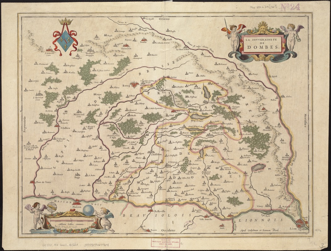
La souverainete de Dombes
Item Information
- Title:
- La souverainete de Dombes
- Title (alt.):
-
Sovverainete de Dombes
- Creator:
- Blaeu, Willem Janszoon, 1571-1638
- Date:
-
[1662]
- Format:
-
Maps/Atlases
- Location:
-
Boston Public Library
Norman B. Leventhal Map Center - Collection (local):
-
Norman B. Leventhal Map Center Collection
- Subjects:
-
Dombes (France)--Maps--Early works to 1800
Ain (France)--Maps--Early works to 1800
- Places:
-
FranceAuvergne-Rhône-Alpes (region)Dombes, Pays de (area)
FranceAuvergne-Rhône-Alpes (region)Département de l'Ain
- Extent:
- 1 map : outline col. ; 37 x 49 cm.
- Terms of Use:
-
No known copyright restrictions.
No known restrictions on use.
- Publisher:
-
Amsterdam :
Ioannis Blaeu
- Scale:
-
Scale ca. 1:44,350.
- Language:
-
French
- Notes:
-
Relief shown pictorially.
- Notes (date):
-
This date is inferred.
- Identifier:
-
06_01_006645
- Call #:
-
G5833.A2 1662 .B53x
- Barcode:
-
39999059027464


