Map of the city of Concord New Hampshire
Item Information
- Title:
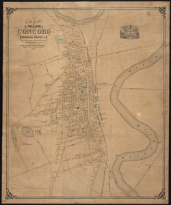
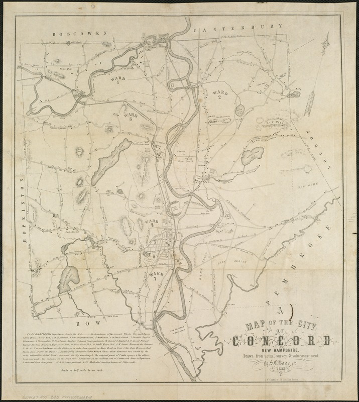
- Map of the city of Concord New Hampshire
- Creator:
- Badger, S. C.
- Name on Item:
-
drawn from actual survey & admeasurement by S.C. Badger.
- Date:
-
1855
- Format:
-
Maps/Atlases
- Location:
-
Boston Public Library
Norman B. Leventhal Map Center - Collection (local):
-
Norman B. Leventhal Map Center Collection
- Subjects:
-
Concord (N.H.)--Maps
- Places:
-
Merrimack (county)Concord
- Extent:
- 1 map ; 56 x 50 cm.
- Terms of Use:
-
No known copyright restrictions.
No known restrictions on use.
- Publisher:
-
Boston :
S.W. Chandler & Bro. Lith.
- Scale:
-
Scale [ca. 1:31,680]
- Language:
-
English
- Notes:
-
Shows buildings, railroads and roads with distances, and ward divisions.
Relief shown by hachures.
Oriented with north toward the upper right.
Includes probable magnetic declinations on eastern and western boundaries.
Distances between points on border shown by rods.
Includes legend note.
- Identifier:
-
06_01_006581
- Call #:
-
G3744.C7 1855 .B33
- Barcode:
-
39999059026813