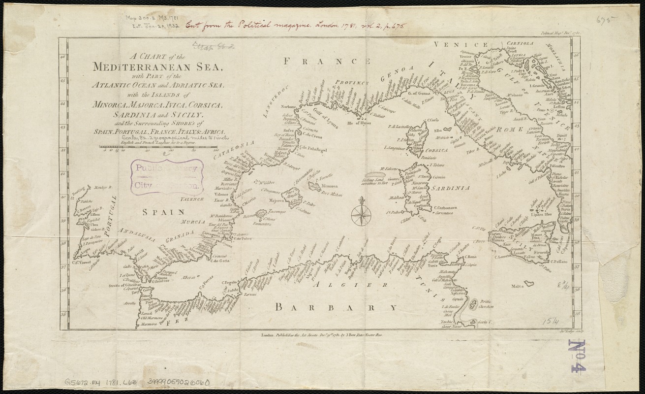
A chart of the Mediterranean Sea, with part of the Atlantic Ocean and Adriatic Sea, with the islands of Minorca, Majorca, Ivica, Corsica, Sardinia and Sicily and the surrounding shores of Spain, Portugal, France, Italy & Africa
Item Information
- Title:
- A chart of the Mediterranean Sea, with part of the Atlantic Ocean and Adriatic Sea, with the islands of Minorca, Majorca, Ivica, Corsica, Sardinia and Sicily and the surrounding shores of Spain, Portugal, France, Italy & Africa
- Creator:
- Lodge, John, d. 1796
- Name on Item:
-
Jno. Lodge sculp.
- Date:
-
1781
- Format:
-
Maps/Atlases
- Location:
-
Boston Public Library
Norman B. Leventhal Map Center - Collection (local):
-
Norman B. Leventhal Map Center Collection
- Subjects:
-
Mediterranean Sea--Maps--Early works to 1800
- Places:
-
Mediterranean Sea
- Extent:
- 1 map ; 23 x 39 cm.
- Terms of Use:
-
No known copyright restrictions.
No known restrictions on use.
- Publisher:
-
London :
J. Bew
- Scale:
-
Scale [ca. 1:5,227,000].
- Language:
-
English
- Notes:
-
Published as the Act directs, Decr. 31st, 1781.
"Political Mag'e. Decr. 1781."
Cut from the Political Magazine. London. Vol. 2, p. 675.
- Identifier:
-
06_01_006491
- Call #:
-
G5672.M4 1781 .L63
- Barcode:
-
39999059026060


