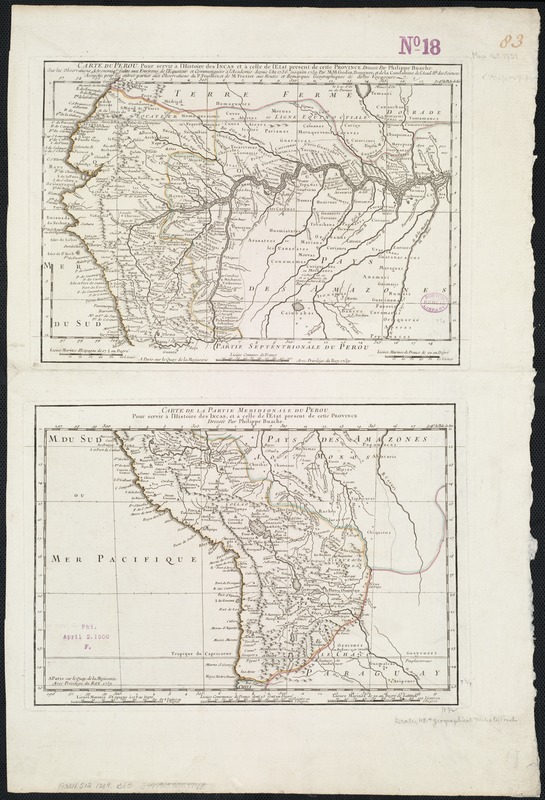
Carte du Perou, pour servir à l'histoire des Incas et à celle de l'etat present de cette province
Item Information
- Title:
- Carte du Perou, pour servir à l'histoire des Incas et à celle de l'etat present de cette province
- Creator:
- Buache, Philippe, 1700-1773
- Date:
-
1739
- Format:
-
Maps/Atlases
- Location:
-
Boston Public Library
Norman B. Leventhal Map Center - Collection (local):
-
Norman B. Leventhal Map Center Collection
- Subjects:
-
Peru--Discovery and exploration--Maps--Early works to 1800
Amazon River--Discovery and exploration--Maps--Early works to 1800
- Places:
-
Peru
Amazon River
- Extent:
- 2 maps on 1 sheet: hand col. ; 21 x 29 cm or smaller, on sheet 57 x 38 cm.
- Terms of Use:
-
No known copyright restrictions.
No known restrictions on use.
- Publisher:
-
Paris :
sur le Quay de la Megisserie avec privilege du Roy
- Scale:
-
Scale [ca. 1:195,000].
- Language:
-
French
- Table of Contents:
-
[Northern sheet]: Carte du Perou, pour servir à l'histoire des Incas et à celle de l'etat present de cette province / dressée par Philippe Buache, sur les observations astronomiq[es] faites aux environs de l'équateur et communiquées à l'Académie depuis l'an 1736 jusqu'en 1739 par M.M. Godin, Bouguer et de la Condaminede l'Acad. R[le] des Sciences Assujetie por les autres parties aux observations du P. Feuillée et de M. Frezier aux routes et remarques geographiques de divers voyageurs. [Southern sheet]: Carte de la partie meridionale du Perou : pour servir à l'histoire des Incas et à celle de l'etat present de cette province / dressée par Philippe Buache.
- Notes:
-
Relief shown pictorially.
Prime meridian: l'Isle de Fer.
Appears in: Histoire des Incas rois du Perou / Garcilaso de la Vega ... faite par T.F. Dalibard ... Paris, Prault fils, 1744.
Cataloging, conservation, and digitization made possible in part by The National Endowment for the Humanities: Exploring the human endeavor.
- Identifier:
-
06_01_006480
- Call #:
-
G5311.S12 1739 .B83
- Barcode:
-
39999059025948


