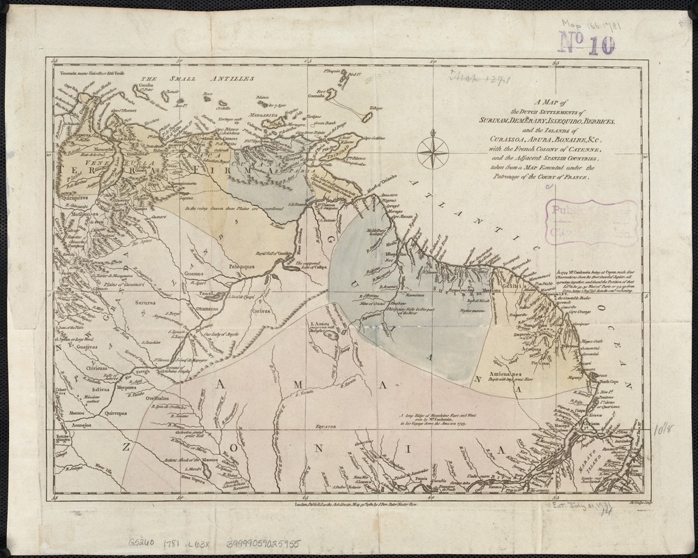
A map of the Dutch settlements of Surinam, Demerary, Issequibo, Berbices, and the islands of Curassoa, Aruba, Bonaire, &c : with the French colony of Cayenne, and the adjacent Spanish countries, taken from a map executed under the patronage of the court of France
Item Information
- Title:
- A map of the Dutch settlements of Surinam, Demerary, Issequibo, Berbices, and the islands of Curassoa, Aruba, Bonaire, &c : with the French colony of Cayenne, and the adjacent Spanish countries, taken from a map executed under the patronage of the court of France
- Creator:
- Lodge, John, d. 1796
- Name on Item:
-
Jno. Lodge sculp.
- Date:
-
1781
- Format:
-
Maps/Atlases
- Location:
-
Boston Public Library
Norman B. Leventhal Map Center - Collection (local):
-
Norman B. Leventhal Map Center Collection
- Subjects:
-
Suriname--Maps--Early works to 1800
Netherlands Antilles--Maps--Early works to 1800
- Places:
-
Suriname
Netherlands Antilles
- Extent:
- 1 map : col. ; 26 x 36 cm.
- Terms of Use:
-
No known copyright restrictions.
No known restrictions on use.
- Publisher:
-
London :
J. Bew
- Scale:
-
Scale not given.
- Language:
-
English
- Notes:
-
Relief shown pictorially.
Map cut from the Political Magazine. London, 1781, v.2, p. 283.
Cataloging, conservation, and digitization made possible in part by The National Endowment for the Humanities: Exploring the human endeavor.
- Identifier:
-
06_01_006481
- Call #:
-
G5260 1781 .L63x
- Barcode:
-
39999059025955


