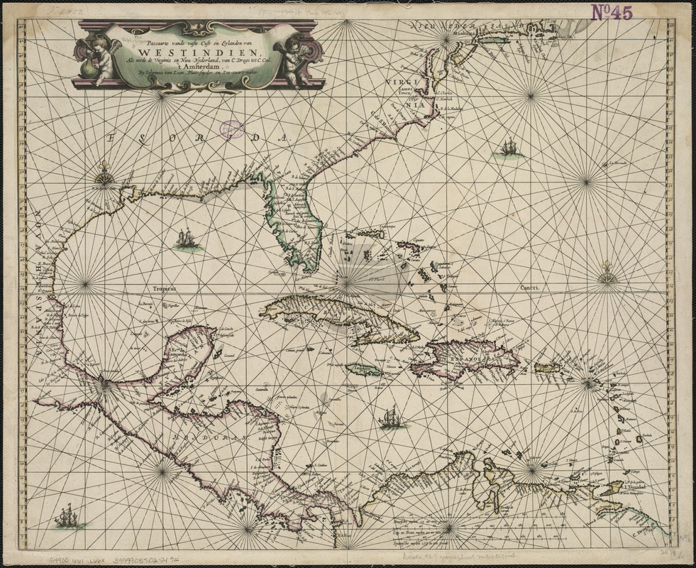
Pascaarte vande vaste cust en eylanden van Westindien, als mede de Virginis en Nieu-Nederland, van C. Droge tot C. Cod
Item Information
- Title:
- Pascaarte vande vaste cust en eylanden van Westindien, als mede de Virginis en Nieu-Nederland, van C. Droge tot C. Cod
- Creator:
- Loon, J. van, ca. 1611-1686
- Name on Item:
-
by Iohannes van Loon.
- Date:
-
[1661]
- Format:
-
Maps/Atlases
- Location:
-
Boston Public Library
Norman B. Leventhal Map Center - Collection (local):
-
Norman B. Leventhal Map Center Collection
- Subjects:
-
West Indies--Maps--Early works to 1800
Caribbean Area--Maps--Early works to 1800
- Places:
-
West Indies
Caribbean Sea
- Extent:
- 1 map : col. ; 43 x 52 cm.
- Terms of Use:
-
No known copyright restrictions.
No known restrictions on use.
- Publisher:
-
Amsterdam :
Iohannes van Loon
- Scale:
-
Scale ca. 1:2,705,000.
- Language:
-
Dutch
- Notes:
-
Shows the Caribbean area, with the Atlantic coast north to Cape Cod, Central America, and South America.
Cataloging, conservation, and digitization made possible in part by The National Endowment for the Humanities: Exploring the human endeavor.
- Notes (date):
-
This date is inferred.
- Identifier:
-
06_01_006420
- Call #:
-
G4900 1661 .L66x
- Barcode:
-
39999059025492


