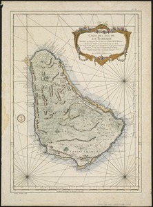
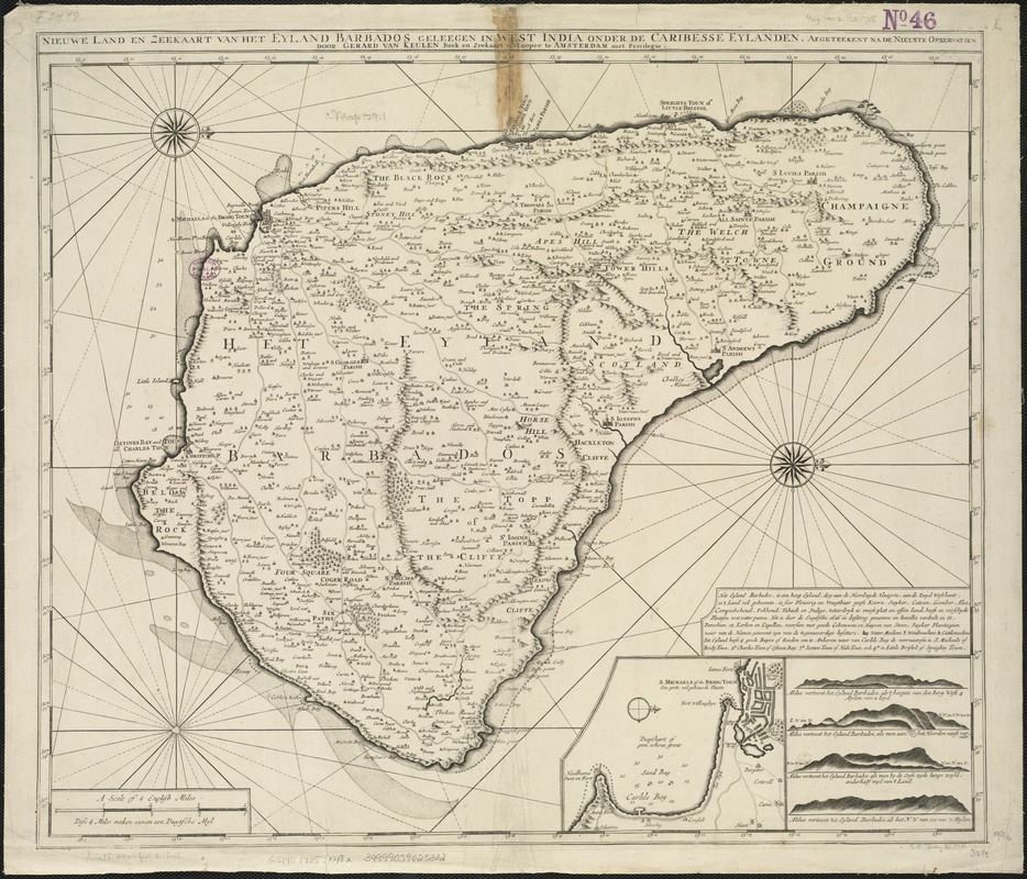
Nieuwe land en zeekaart van het eyland Barbados geleegen in West India onder de Caribesse Eylanden : afgeteekent na de nieuste opservatien
Item Information
- Title:
- Nieuwe land en zeekaart van het eyland Barbados geleegen in West India onder de Caribesse Eylanden : afgeteekent na de nieuste opservatien
- Creator:
- Keulen, Gerard van.
- Name on Item:
-
door Gerard van Keulen.
- Date:
-
[1725?]
- Format:
-
Maps/Atlases
- Location:
-
Boston Public Library
Norman B. Leventhal Map Center - Collection (local):
-
Norman B. Leventhal Map Center Collection
- Subjects:
-
Barbados--Maps--Early works to 1800
- Places:
-
Barbados
- Extent:
- 1 map ; 50 x 59 cm.
- Terms of Use:
-
No known copyright restrictions.
No known restrictions on use.
- Publisher:
-
Amsterdam :
[s.n.]
- Scale:
-
Scale [ca. 1:47,500].
- Language:
-
Dutch
English
- Notes:
-
Relief shown pictorially.
Oriented with north to the right.
Includes text, and insets of St. Michaels of the Bridg Toun and four views.
Cataloging, conservation, and digitization made possible in part by The National Endowment for the Humanities: Exploring the human endeavor.
- Identifier:
-
06_01_006383
- Call #:
-
G5140 1725 .K48x
- Barcode:
-
39999059025302