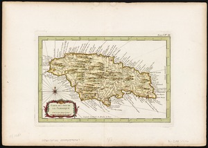
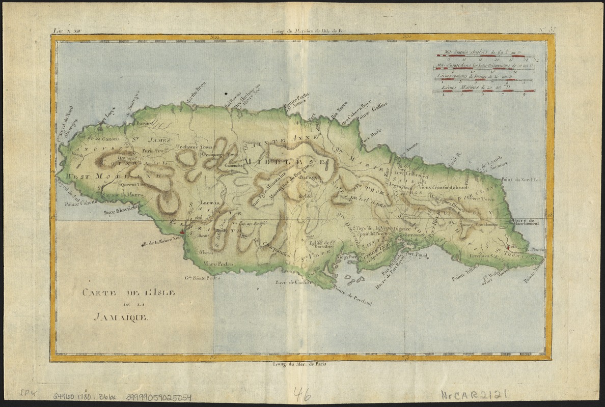
Carte de l'isle de la Jamaïque
This map is also available in American Revolutionary Geographies Online (ARGO), a collections portal especially built for material relating to the American Revolutionary War Era. Visit ARGO to learn more about this item and explore the historical geography of North America in the late eighteenth century.
Item Information
- Title:
- Carte de l'isle de la Jamaïque
- Creator:
- Bonne, Rigobert, 1727-1794
- Date:
-
[1780]
- Format:
-
Maps/Atlases
- Location:
-
Boston Public Library
Norman B. Leventhal Map Center - Collection (local):
-
Norman B. Leventhal Map Center Collection
- Subjects:
-
Jamaica--Maps--Early works to 1800
- Places:
-
Jamaica
- Extent:
- 1 map : col. ; 20 x 30 cm.
- Terms of Use:
-
No known copyright restrictions.
No known restrictions on use.
- Publisher:
-
Geneve :
Chez J. L. Pellet
- Scale:
-
Scale [ca. 1:860,000].
- Language:
-
French
- Notes:
-
Relief shown by hachures.
In upper margins: Liv X. XIV; No. 38.
Meridians from Paris and Ferro.
Appears in Guillaume Thomas Francios Raynal's Atlas de toutes les parties connues du globe terrestre ... Geneve: Chez J. L. Pellet, 1780.
- Notes (date):
-
This date is inferred.
- Identifier:
-
06_01_006358
- Call #:
-
G4960 1780 .B66x
- Barcode:
-
39999059025054