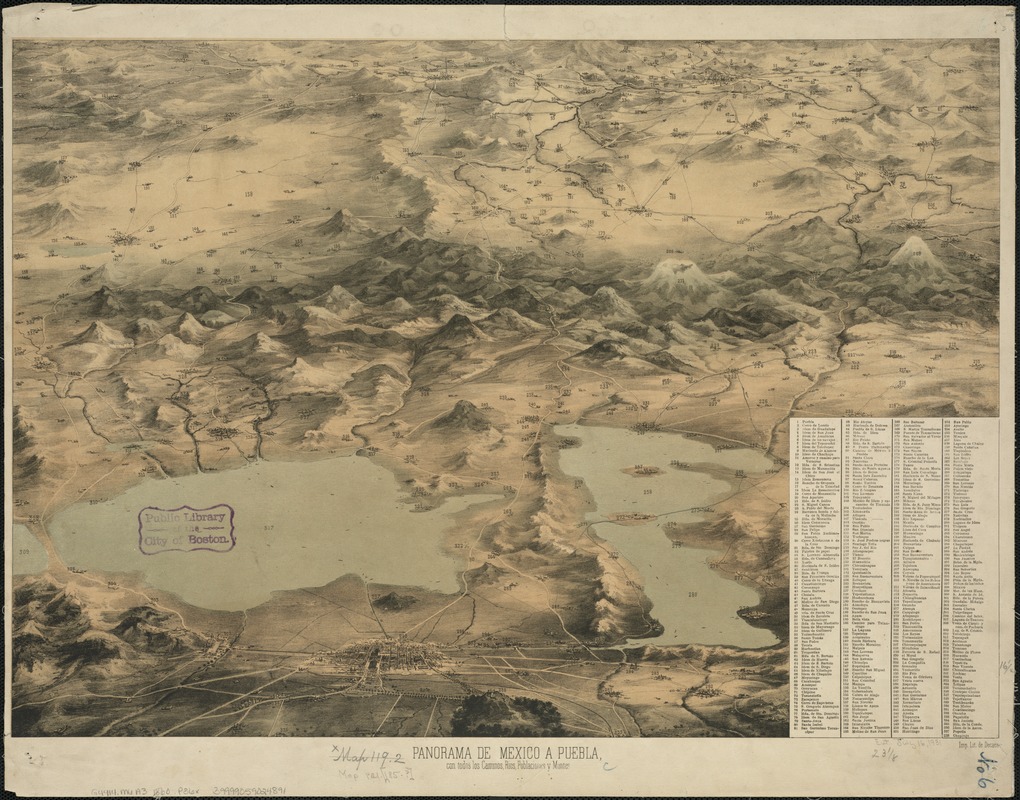
Panorama de Mexico a puebla, con todos los caminos, rios, poblaciones y montes
Item Information
- Title:
- Panorama de Mexico a puebla, con todos los caminos, rios, poblaciones y montes
- Date:
-
[1860]
- Format:
-
Maps/Atlases
- Location:
-
Boston Public Library
Norman B. Leventhal Map Center - Collection (local):
-
Norman B. Leventhal Map Center Collection
- Subjects:
-
Mexico City (Mexico)--Aerial views
- Places:
-
Distrito Federal (territory)Mexico City
- Extent:
- 1 view : col. ; 42 x 59 cm.
- Terms of Use:
-
No known copyright restrictions.
No known restrictions on use.
- Publisher:
-
[Mexico] :
Imp. Lit. de Decaen
- Scale:
-
Not drawn to scale.
- Language:
-
Spanish
- Notes:
-
Relief shown pictorially.
Includes index to points of interest.
- Notes (date):
-
This date is inferred.
- Identifier:
-
06_01_006347
- Call #:
-
G4414.M6A3 1860 .P36x
- Barcode:
-
39999059024891


