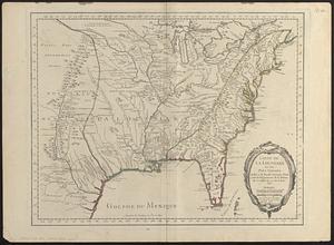
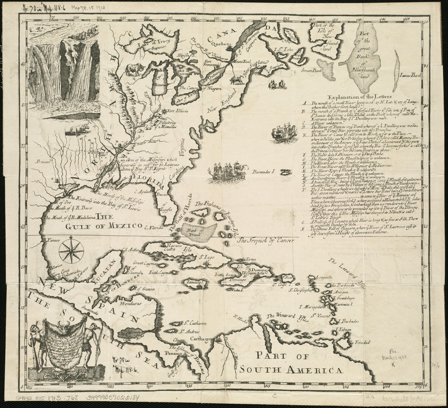
A new map of the country of Louisiana and of ye river Missisipi in North America discou'd by Mons. de la Salle in ye years 1681and 1686 as allso of several other rivers before unknown and falling into ye Bay of St. Lewis
Item Information
- Title:
- A new map of the country of Louisiana and of ye river Missisipi in North America discou'd by Mons. de la Salle in ye years 1681and 1686 as allso of several other rivers before unknown and falling into ye Bay of St. Lewis
- Creator:
- Joutel, Henri, 1640?-1735
- Name on Item:
-
by the Sr. Joutel, who perform'd that voyage, 1713.
- Date:
-
[1714?]
- Format:
-
Maps/Atlases
- Location:
-
Boston Public Library
Norman B. Leventhal Map Center - Collection (local):
-
Norman B. Leventhal Map Center Collection
- Subjects:
-
Mississippi River Valley Ear.--Maps--Early works to 1800
North America--Historical geography--Maps--Early works to 1800
Louisiana--Historical geography--Maps--Early works to 1800
Mississippi River Valley--Historical geography--Maps--Early works to 1800
Louisiana--Maps--Early works to 1800
- Places:
-
North America (area)
Mississippi River
Louisiana
- Extent:
- 1 map ; 35 x 38 cm.
- Terms of Use:
-
No known copyright restrictions.
No known restrictions on use.
- Publisher:
-
London :
For A. Bell
- Scale:
-
Scale [ca. 1:14,572,800].
- Language:
-
English
- Notes:
-
Relief shown pictorially.
Shows portion of North America, New Spain, West Indies, and part of South America, detailing area of Mississippi River Basin, and including some other rivers.
Title from ornamental cartouche.
Measured east from two unidentified meridians.
Includes ill. of Niagra Falls.
Includes index, "Explanation of letters."
- Identifier:
-
06_01_006292
- Call #:
-
G4042.M5 1713 .J68
- Barcode:
-
39999059022184