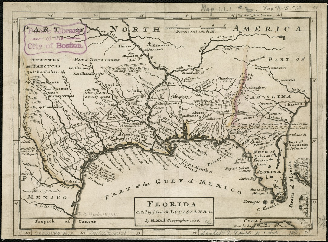
Florida called by ye French Louisiana &c
Item Information
- Title:
- Florida called by ye French Louisiana &c
- Creator:
- Moll, Herman, d. 1732
- Name on Item:
-
by H. Moll Geographer 1728.
- Date:
-
[1732?]
- Format:
-
Maps/Atlases
- Location:
-
Boston Public Library
Norman B. Leventhal Map Center - Collection (local):
-
Norman B. Leventhal Map Center Collection
- Subjects:
-
Southern States--Maps--Early works to 1800
- Places:
-
Southern United States (area)
- Extent:
- 1 map ; 19 x 26 cm.
- Terms of Use:
-
No known copyright restrictions.
No known restrictions on use.
- Publisher:
-
London :
Printed for Tho. Bowles and John Bowles
- Scale:
-
Scale [1:150,000].
- Language:
-
English
- Notes:
-
Relief shown pictorially.
Appears in author's Atlas Minor. London : Thos. Bowles and John Bowles, [1732 or 1736].
Numbered 54.
Shows rivers, boundaries, settlements, roads and woods.
London meridian.
Area covers modern Florida, Georgia, Alabama, Mississippi, Louisiana and Texas.
- Identifier:
-
06_01_006289
- Call #:
-
G3860 1732 .M65
- Barcode:
-
39999059022168


