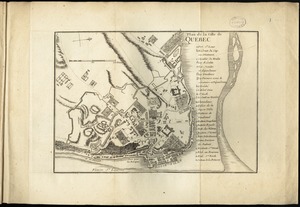
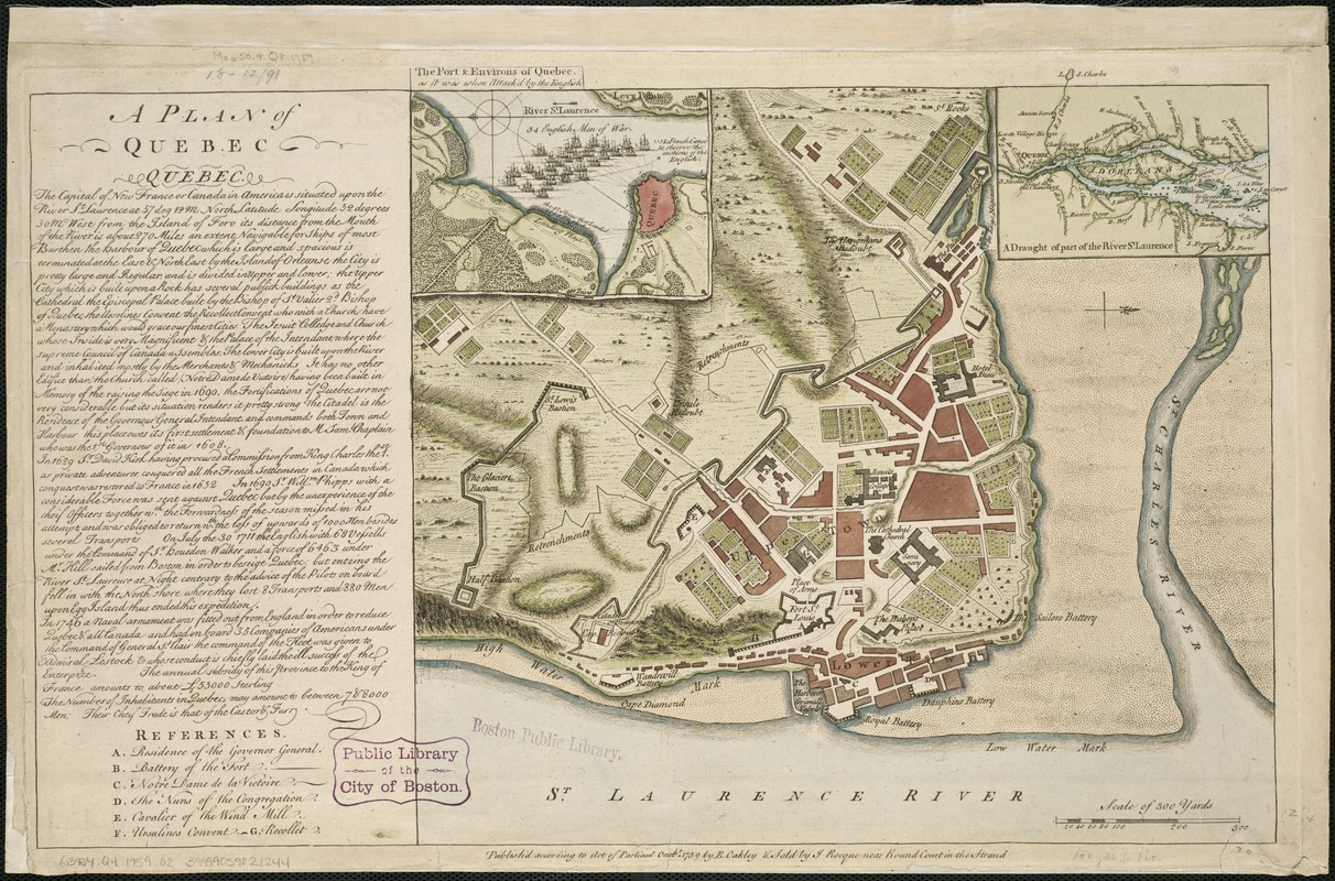
A plan of Quebec
This map is also available in American Revolutionary Geographies Online (ARGO), a collections portal especially built for material relating to the American Revolutionary War Era. Visit ARGO to learn more about this item and explore the historical geography of North America in the late eighteenth century.
Item Information
- Title:
- A plan of Quebec
- Creator:
- Oakley, Edward, 18th cent
- Date:
-
1759
- Format:
-
Maps/Atlases
- Location:
-
Boston Public Library
Norman B. Leventhal Map Center - Collection (local):
-
Norman B. Leventhal Map Center Collection
- Subjects:
-
Québec (Québec)--Maps--Early works to 1800
- Places:
-
CanadaQuébec
- Extent:
- 1 map : hand col. ; 31 x 51 cm.
- Terms of Use:
-
No known copyright restrictions.
No known restrictions on use.
- Publisher:
-
[London] :
Publish'd according to act of Parliament Octobr. 1759 by E. Oakley & Sold by J. Rocque ...
- Scale:
-
Scale ca. 1:3,600.
- Language:
-
English
- Notes:
-
Relief shown by hachures.
Oriented with north to the right.
Insets: "The port & environs of Quebec as it was when attack'd by the English": shows the abortive 1746 British expedition against Quebec during the war of the Austrian Succession; "A draught of part of the River St. Laurence."
Includes text giving the history of the city and index to the principal buildings.
Cataloging, conservation, and digitization made possible in part by The National Endowment for the Humanities: Exploring the human endeavor.
- Identifier:
-
06_01_006195
- Call #:
-
G3454.Q4 1759 .O2
- Barcode:
-
39999059021244