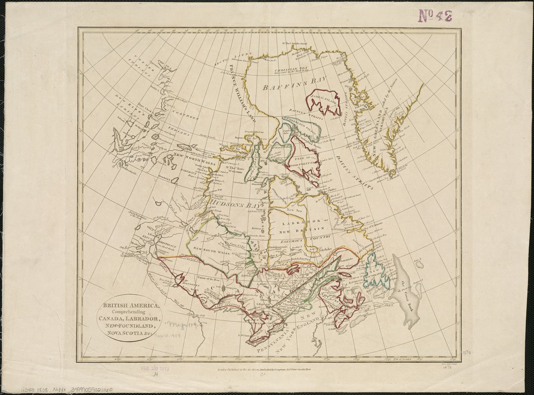
British America, comprehending Canada, Labrador, New-Foundland, Nova Scotia &c
Item Information
- Title:
- British America, comprehending Canada, Labrador, New-Foundland, Nova Scotia &c
- Creator:
- Neele, Samuel J.
- Name on Item:
-
Neele sculpt.
- Date:
-
1808
- Format:
-
Maps/Atlases
- Location:
-
Boston Public Library
Norman B. Leventhal Map Center - Collection (local):
-
Norman B. Leventhal Map Center Collection
- Subjects:
-
Canada--Maps
- Places:
-
Canada
- Extent:
- 1 map : col. ; 33 x 38 cm.
- Terms of Use:
-
No known copyright restrictions.
No known restrictions on use.
- Publisher:
-
London :
Longman & Co.
- Scale:
-
Scale not given.
- Language:
-
English
- Notes:
-
Relief shown pictorially.
Cataloging, conservation, and digitization made possible in part by The National Endowment for the Humanities: Exploring the human endeavor.
- Identifier:
-
06_01_006187
- Call #:
-
G3400 1808 .N44x
- Barcode:
-
39999059021160


