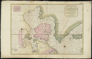
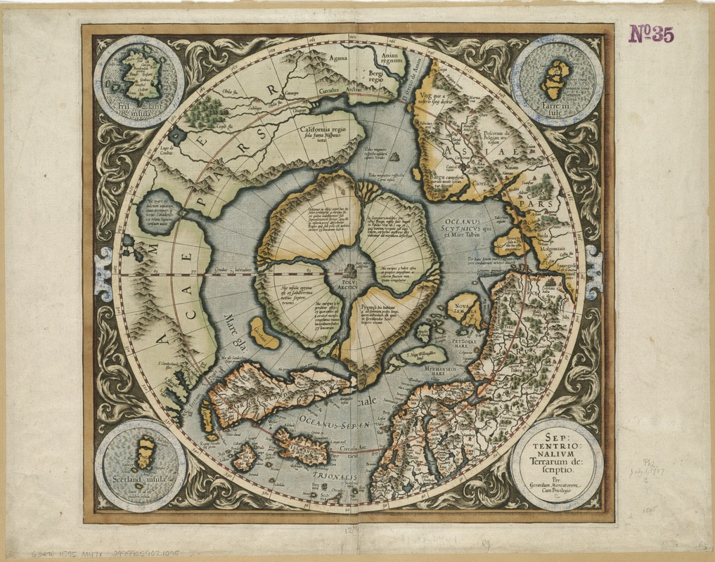
Septentrionalium terrarum descriptio
Item Information
- Title:
- Septentrionalium terrarum descriptio
- Creator:
- Mercator, Gerhard, 1512-1594
- Name on Item:
-
par Gerardum Mercatorem.
- Date:
-
[1595]
- Format:
-
Maps/Atlases
- Location:
-
Boston Public Library
Norman B. Leventhal Map Center - Collection (local):
-
Norman B. Leventhal Map Center Collection
- Subjects:
-
Arctic regions--Maps--Early works to 1800
- Places:
-
Arctic (area)
- Extent:
- 1 map : col. ; 34 cm in diam., on sheet 40 x 52 cm.
- Terms of Use:
-
No known copyright restrictions.
No known restrictions on use.
- Publisher:
-
Duisburg :
s.n.
- Scale:
-
Scale not given.
- Language:
-
Latin
- Notes:
-
Relief shown pictorially.
State 1a according to William Ginsberg in his Printed maps of Scandinavia and the Arctic 1482-1601.
Insets: Frislant insula, Farre insule, Scetland insula.
- Notes (date):
-
This date is inferred.
- Identifier:
-
06_01_006180
- Call #:
-
G3270 1595 .M47x
- Barcode:
-
39999059021095