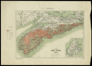
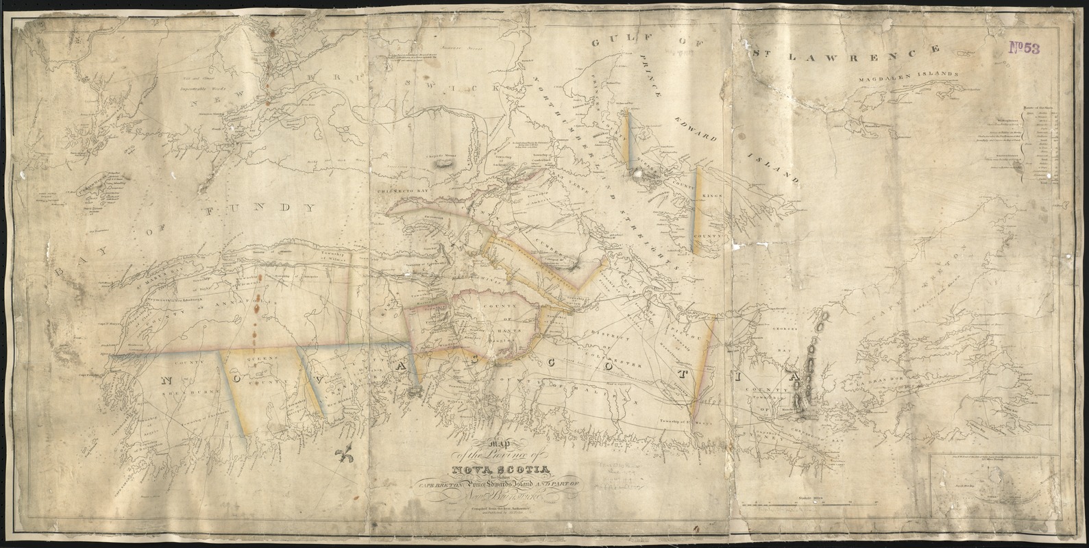
Map of the province of Nova Scotia including Cape Breton Prince Edwards Island and part of New Brunswick
Item Information
- Title:
- Map of the province of Nova Scotia including Cape Breton Prince Edwards Island and part of New Brunswick
- Creator:
- Toler, John G.
- Name on Item:
-
compiled from the best authorities abd published by J.G. Toler ; engraved by C.W. Torbett.
- Date:
-
[1819]
- Format:
-
Maps/Atlases
- Location:
-
Boston Public Library
Norman B. Leventhal Map Center - Collection (local):
-
Norman B. Leventhal Map Center Collection
- Subjects:
-
Nova Scotia--Maps
- Places:
-
CanadaNova Scotia (province)
- Extent:
- 1 map : col. ; 58 x 118 cm.
- Terms of Use:
-
No known copyright restrictions.
No known restrictions on use.
- Publisher:
-
[S.l.] :
J.G. Toler
- Scale:
-
Scale ca. 1:539,000.
- Language:
-
English
- Notes:
-
Relief shown by hachures. Depths shown by soundings.
Oriented with north toward the upper right.
Inset: The N.W. End of the Isle of Sable bears from the Halifax or Sambro Light Ebys.
Cataloging, conservation, and digitization made possible in part by The National Endowment for the Humanities: Exploring the human endeavor.
- Notes (date):
-
This date is inferred.
- Identifier:
-
06_01_006176
- Call #:
-
G3420 1819 .T65x
- Barcode:
-
39999059021046