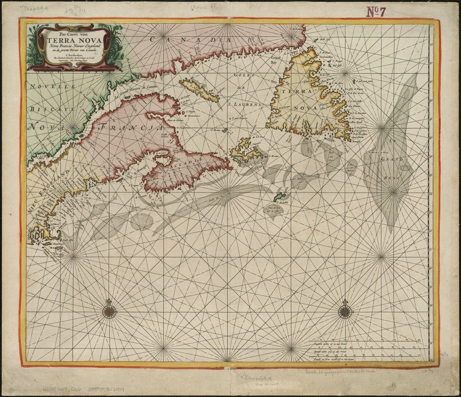
Pas-caert van Terra Nova, Nova Francia, Nieuw-Engeland en de groote rivier van Canada
Item Information
- Title:
- Pas-caert van Terra Nova, Nova Francia, Nieuw-Engeland en de groote rivier van Canada
- Creator:
- Doncker, Hendrick, 1626-1699
- Name on Item:
-
by Henrdick Doncker.
- Date:
-
[1669]
- Format:
-
Maps/Atlases
- Location:
-
Boston Public Library
Norman B. Leventhal Map Center - Collection (local):
-
Norman B. Leventhal Map Center Collection
- Subjects:
-
North America--Maps--Early works to 1800
Canada--Maps--Early works to 1800
New England--Maps--Early works to 1800
- Places:
-
North America (area)
New England (area)
Canada
- Extent:
- 1 map ; 43 x 52 cm.
- Terms of Use:
-
No known copyright restrictions.
No known restrictions on use.
- Publisher:
-
Amsterdam :
Hendrick Doncker
- Scale:
-
Scale 1:4,700,000.
- Language:
-
Dutch
- Notes:
-
State 1 with few soundings on Grand Banks.
- Notes (date):
-
This date is inferred.
- Identifier:
-
06_01_006174
- Call #:
-
G3300 1669 .D66
- Barcode:
-
39999059021004


