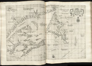
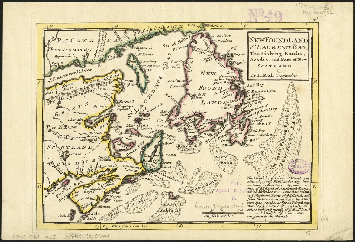
New Found Land, St. Laurence Bay, the fishing banks, Acadia, and part of New Scotland
Item Information
- Title:
- New Found Land, St. Laurence Bay, the fishing banks, Acadia, and part of New Scotland
- Title (alt.):
-
Newfoundland, St. Laurence Bay, the fishing banks, Acadia, and part of new Scotland
- Creator:
- Moll, Herman, d. 1732
- Name on Item:
-
by H. Moll, geographer.
- Date:
-
[1732?]
- Format:
-
Maps/Atlases
- Location:
-
Boston Public Library
Norman B. Leventhal Map Center - Collection (local):
-
Norman B. Leventhal Map Center Collection
- Subjects:
-
New France--Maps--Early works to 1800
Newfoundland and Labrador--Maps--Early works to 1800
Nova Scotia--Maps--Early works to 1800
Saint Lawrence, Gulf of--Maps--Early works to 1800
- Places:
-
CanadaSaint Lawrence, Gulf of
New France
- Extent:
- 1 map : hand col. ; 20 x 26 cm.
- Terms of Use:
-
No known copyright restrictions.
No known restrictions on use.
- Publisher:
-
London :
Printed for T. Bowles and J. Bowles
- Scale:
-
Scale [ca. 1:5,500,000]
- Language:
-
English
- Notes:
-
Relief shown pictorially.
From: Atlas minor ... 2nd ed. London : Printed for T. Bowles and J. Bowles, [1732?].
Imprint from Phillips 578.
Includes note, lower right, on French fishing rights according to the Treaty of Utrecht (1713).
Page no., upper right: 47.
Prime meridian London. Bar scale in English miles.
References: Phillips v. 1 578, map 47. See also Phillips v. 1, 585, 602, 635 for notes relating to map 47.
Cataloging, conservation, and digitization made possible in part by The National Endowment for the Humanities: Exploring the human endeavor.
- Identifier:
-
06_01_006170
- Call #:
-
G3400 1732 .M65
- Barcode:
-
39999059020964