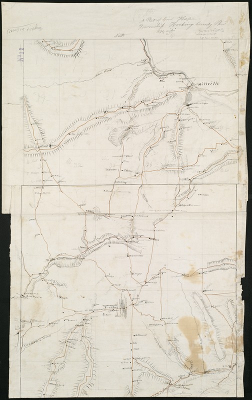
A plat of Good Hope township, Hocking County, Ohio
Item Information
- Title:
- A plat of Good Hope township, Hocking County, Ohio
- Date:
-
[1850?–1859?]
- Format:
-
Maps/Atlases
Manuscripts
- Location:
-
Boston Public Library
Norman B. Leventhal Map Center - Collection (local):
-
Norman B. Leventhal Map Center Collection
- Subjects:
-
Good Hope (Ohio : Township)--Maps, Manuscript
- Places:
-
Township of Good Hope
- Extent:
- 1 ms. map : col. ; 52 x 81 cm.
- Terms of Use:
-
No known copyright restrictions.
No known restrictions on use.
- Scale:
-
Scale not given.
- Language:
-
English
- Notes:
-
Manuscript map.
Relief shown by hachures.
Includes names of landowners and places of interest.
- Identifier:
-
06_01_006102
- Call #:
-
G4084.G5645 1850 .P53x
- Barcode:
-
39999059019685


