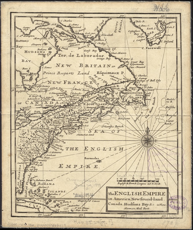
The English empire in America, Newfound-land, Canada, Hudsons Bay, &c. in plano
Item Information
- Title:
- The English empire in America, Newfound-land, Canada, Hudsons Bay, &c. in plano
- Creator:
- Moll, Herman, d. 1732
- Name on Item:
-
Herman Moll fecit.
- Date:
-
[1709]
- Format:
-
Maps/Atlases
- Location:
-
Boston Public Library
Norman B. Leventhal Map Center - Collection (local):
-
Norman B. Leventhal Map Center Collection
- Subjects:
-
North America--Maps--Early works to 1800
- Places:
-
North America (area)
- Extent:
- 1 map ; 21 x 17 cm.
- Terms of Use:
-
No known copyright restrictions.
No known restrictions on use.
- Publisher:
-
London :
printed for A. & J. Church
- Scale:
-
Scale [ca. 1:26,000,000].
- Language:
-
English
- Notes:
-
Prime meridian: Ferro.
Appears in Moll's Atlas manuale, or, A new sett of maps of all the parts of the earth. London : Printed for A. & J. Church, 1709.
- Notes (date):
-
This date is inferred.
- Identifier:
-
06_01_006083
- Call #:
-
G3300 1709 .M6
- Barcode:
-
39999059019479


