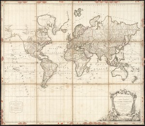
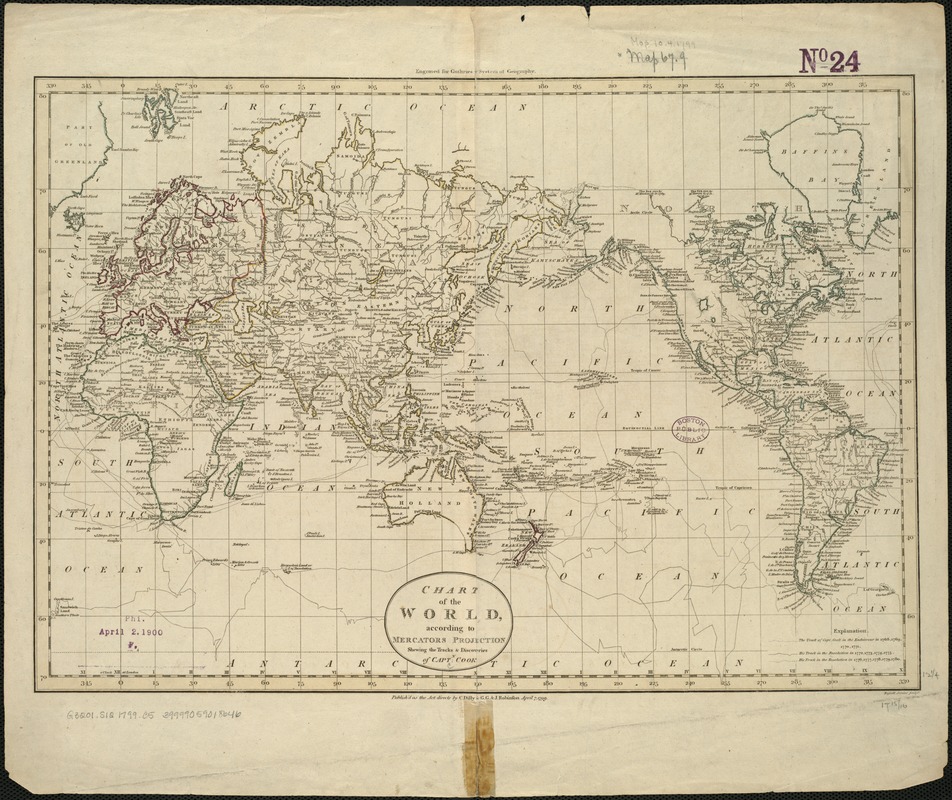
Chart of the world according to Mercators projection, shewing the tracks & discoveries of Captn. Cook
Item Information
- Title:
- Chart of the world according to Mercators projection, shewing the tracks & discoveries of Captn. Cook
- Name on Item:
-
Russell Junior sculpt.
- Date:
-
1799
- Format:
-
Maps/Atlases
- Location:
-
Boston Public Library
Norman B. Leventhal Map Center - Collection (local):
-
Norman B. Leventhal Map Center Collection
- Subjects:
-
World maps--Early works to 1800
Cook, James, 1728-1779
- Places:
-
World
- Extent:
- 1 map ; 32 x 46 cm.
- Terms of Use:
-
No known copyright restrictions.
No known restrictions on use.
- Publisher:
-
[London] :
C. Dilly & G.G. & J. Robinson
- Scale:
-
Scale not given.
- Language:
-
English
- Notes:
-
Relief shown pictorially.
Engraved for Guthrie's new system of geography.
- Identifier:
-
06_01_005931
- Call #:
-
G3201.S12 1799 .C5
- Barcode:
-
39999059018646