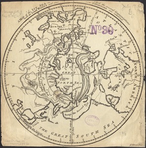
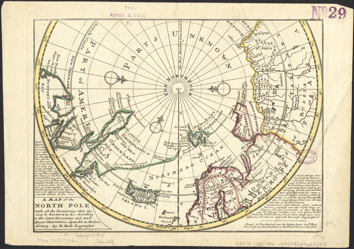
A map of the North Pole with all the territories that lye near it, known to us &c. According to the latest discoveries, and most exact observations : agreeable to modern history
Item Information
- Title:
- A map of the North Pole with all the territories that lye near it, known to us &c. According to the latest discoveries, and most exact observations : agreeable to modern history
- Creator:
- Moll, Herman, d. 1732
- Name on Item:
-
by H. Moll.
- Date:
-
[1732?]
- Format:
-
Maps/Atlases
- Location:
-
Boston Public Library
Norman B. Leventhal Map Center - Collection (local):
-
Norman B. Leventhal Map Center Collection
- Subjects:
-
Arctic regions--Maps--Early works to 1800
North Pole--Maps--Early works to 1800
- Places:
-
Arctic (area)
- Extent:
- 1 map : col. ; 21 x 28 cm.
- Terms of Use:
-
No known copyright restrictions.
No known restrictions on use.
- Publisher:
-
[London] :
Printed for Tho. Bowles ... & John Bowles ...
- Scale:
-
Scale [ca. 1:30,000,000].
- Language:
-
English
- Notes:
-
Inset map of the North Pole.
Part of a hemisphere 27 cm in diameter.
Notes about the sun and search for the North East passage.
London meridian.
Appears in Moll's Atlas Minor. London: Thomas Bowles and John Bowles, 1732? or 1736?
Area from 60 ̊north to the Pole, from Hudson Bay in the west to the Bering Straits in the east.
- Identifier:
-
06_01_005921
- Call #:
-
G3270 1732 .M6
- Barcode:
-
39999059018505