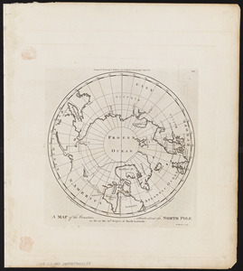
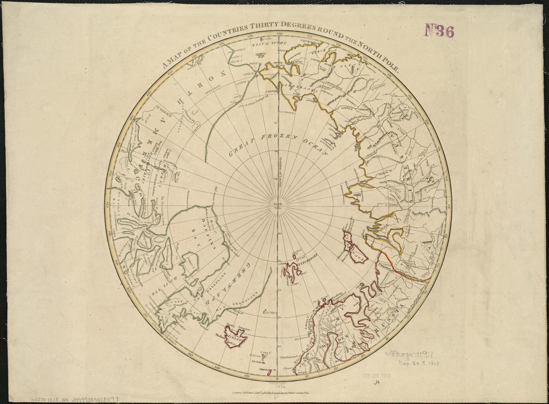
A map of the countries thirty degrees round the north pole
Item Information
- Title:
- A map of the countries thirty degrees round the north pole
- Creator:
- Neele, Samuel John, 1758-1824
- Name on Item:
-
Neele sculpt.
- Date:
-
1808
- Format:
-
Maps/Atlases
- Location:
-
Boston Public Library
Norman B. Leventhal Map Center - Collection (local):
-
Norman B. Leventhal Map Center Collection
- Subjects:
-
Arctic regions--Maps
North Pole--Maps
- Places:
-
Arctic (area)
- Extent:
- 1 map : col. ; 34 cm. in diam., on sheet 40 x 54 cm.
- Terms of Use:
-
No known copyright restrictions.
No known restrictions on use.
- Publisher:
-
London :
Longman & Co.
- Scale:
-
Scale not given
- Language:
-
English
- Notes:
-
Relief shown pictorially.
Hand colored.
Arctic coast of North America incomplete.
Appears in Cruttwell's Atlas to Cruttwell's gazeteer. London : for Longman, Hurst, Rees & Orme, [1808].
- Identifier:
-
06_01_005920
- Call #:
-
G3270 1808 .N4
- Barcode:
-
39999059018497