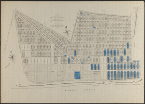
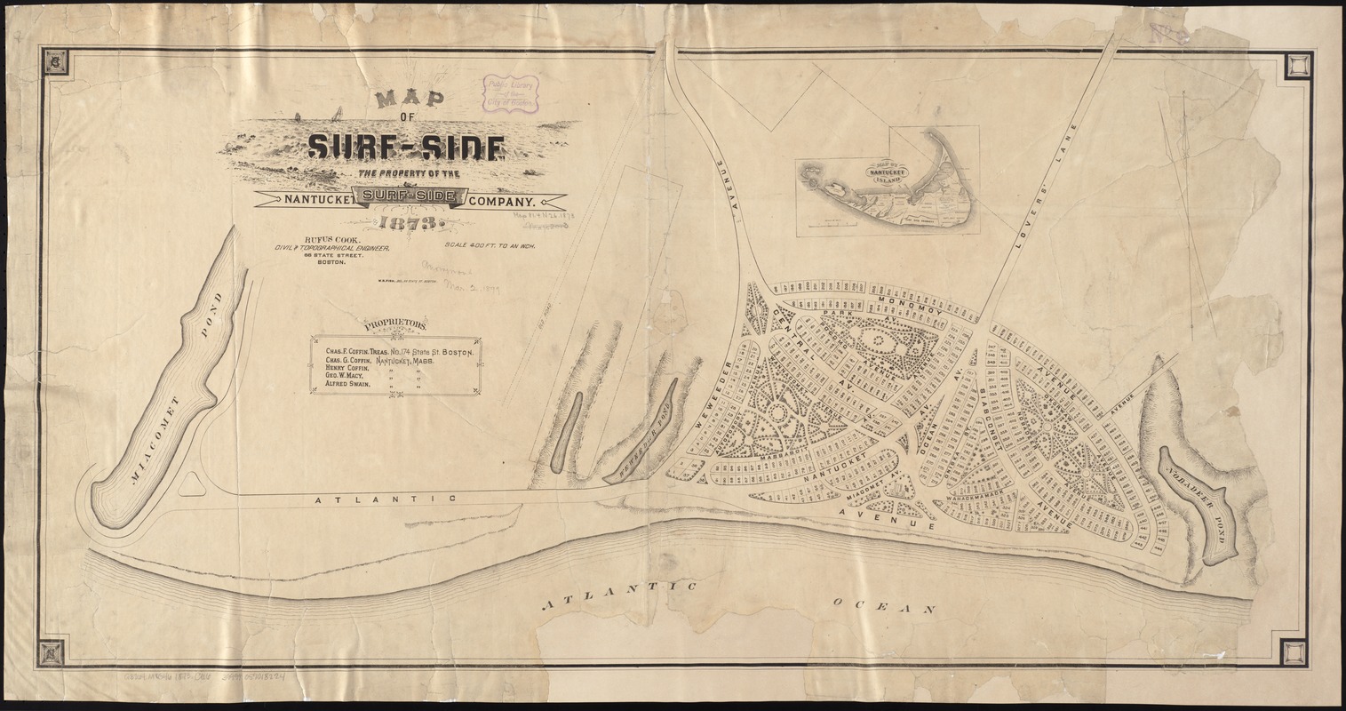
Map of Surf-Side, the property of the Nantucket Surf-Side Company
Item Information
- Title:
- Map of Surf-Side, the property of the Nantucket Surf-Side Company
- Creator:
- Cook, Rufus.
- Name on Item:
-
Rufus Cook, civil & topographical engineer ; W.R. Fish, del.
- Date:
-
1873
- Format:
-
Maps/Atlases
- Location:
-
Boston Public Library
Norman B. Leventhal Map Center - Collection (local):
-
Norman B. Leventhal Map Center Collection
- Subjects:
-
Surfside Land Company (Nantucket, Mass.)--Maps
Real property--Massachusetts--Nantucket--Maps
Nantucket (Mass.)--Maps
- Places:
-
MassachusettsNantucket (county)Nantucket Island (island)Nantucket
- Extent:
- 1 map ; 43 x 84 cm.
- Terms of Use:
-
No known copyright restrictions.
No known restrictions on use.
- Publisher:
-
Boston :
[s.n.]
- Scale:
-
Scale 1:4,800. 400 ft. to an inch.
- Language:
-
English
- Notes:
-
Relief shown by hachures.
Oriented with north toward the upper left.
Inset: Map of Nantucket island.
- Identifier:
-
06_01_005887
- Call #:
-
G3764.N18G46 1873 .C66
- Barcode:
-
39999059018224