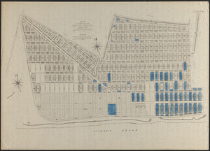
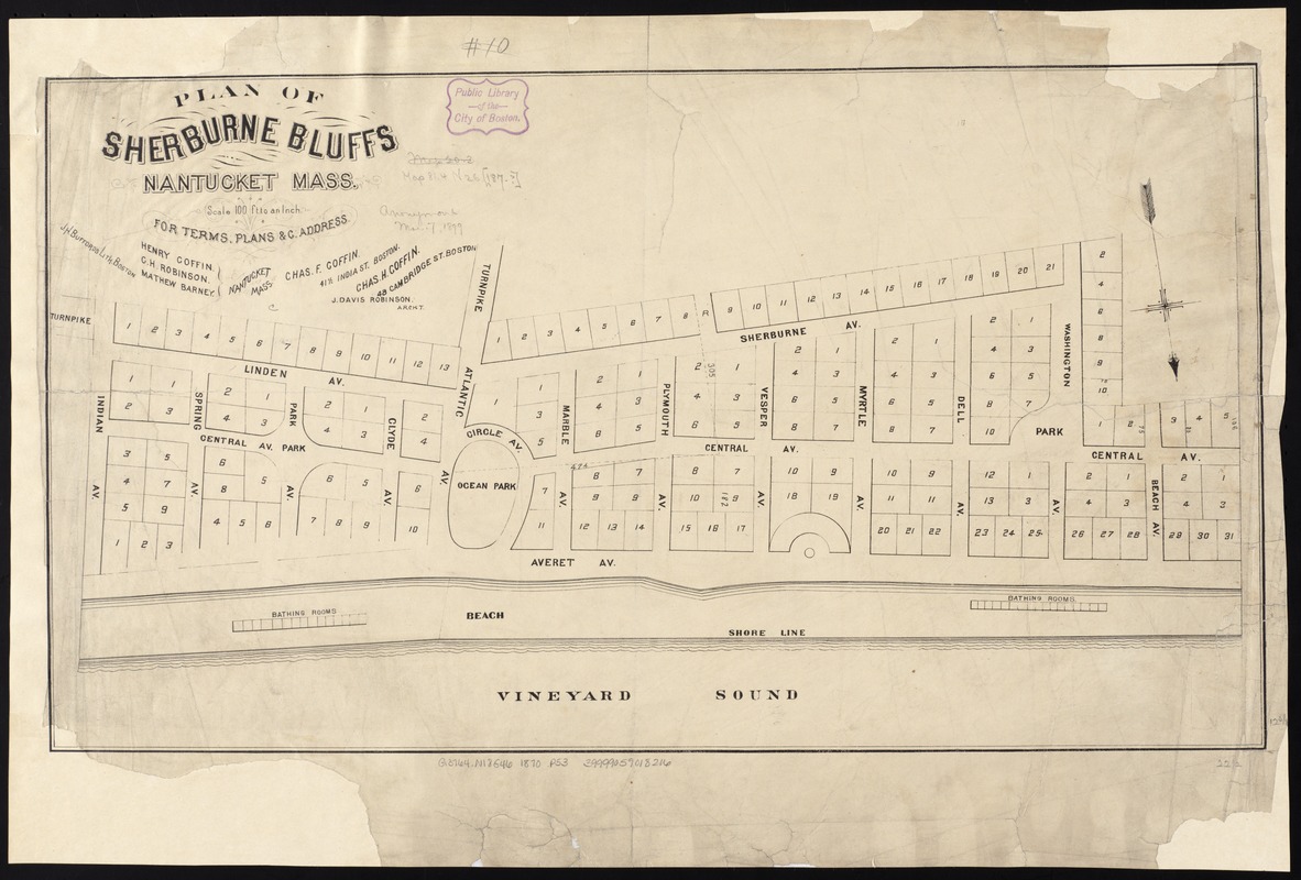
Plan of Sherburne Bluffs, Nantucket, Mass
Item Information
- Title:
- Plan of Sherburne Bluffs, Nantucket, Mass
- Date:
-
[1870?–1879?]
- Format:
-
Maps/Atlases
- Location:
-
Boston Public Library
Norman B. Leventhal Map Center - Collection (local):
-
Norman B. Leventhal Map Center Collection
- Subjects:
-
Real property--Massachusetts--Nantucket--Maps
Nantucket (Mass.)--Maps
- Places:
-
MassachusettsNantucket (county)Nantucket Island (island)Nantucket
- Extent:
- 1 map ; 32 x 57 cm.
- Terms of Use:
-
No known copyright restrictions.
No known restrictions on use.
- Publisher:
-
Boston :
J.H. Bufford's Lith.
- Scale:
-
Scale 1:1,200.
- Language:
-
English
- Notes:
-
Oriented with north toward the lower right.
"Henry Coffin, C.H. Robinson, Mathew Barney - Nantucket, Mass."
"J. Davis Robinson, archt."
- Identifier:
-
06_01_005886
- Call #:
-
G3764.N18G46 1870 .P53
- Barcode:
-
39999059018216