Map of maneuver ground, Massachusetts, 1909
Item Information
- Title:
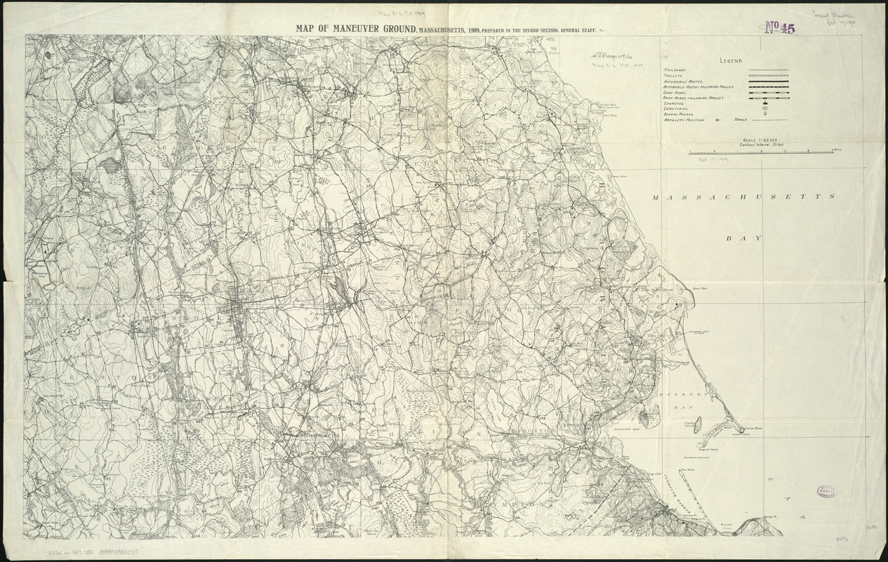
- Map of maneuver ground, Massachusetts, 1909
- Creator:
- United States. Dept. of the Army. General Staff. . Second Section
- Name on Item:
-
prepared in the Second Section, General Staff.
- Date:
-
[1909]
- Format:
-
Maps/Atlases
- Location:
-
Boston Public Library
Norman B. Leventhal Map Center - Collection (local):
-
Norman B. Leventhal Map Center Collection
- Subjects:
-
Military maneuvers--Massachusetts--Maps
Military training camps--Massachusetts--Maps
Massachusetts--Maps
- Places:
-
Massachusetts
- Extent:
- 1 map ; 55 x 92 cm.
- Terms of Use:
-
No known copyright restrictions.
No known restrictions on use.
- Publisher:
-
S.l :
s.n.
- Scale:
-
Scale 1:62,500.
- Language:
-
English
- Notes:
-
Relief shown by contours.
Shows the coast of Massachusetts from Scituate to Plymouth, and west to Dedham in the north and Winnecunnet in the south.
- Notes (date):
-
This date is inferred.
- Identifier:
-
06_01_005576
- Call #:
-
G3761.R1 1909 .U5x
- Barcode:
-
39999059015220


