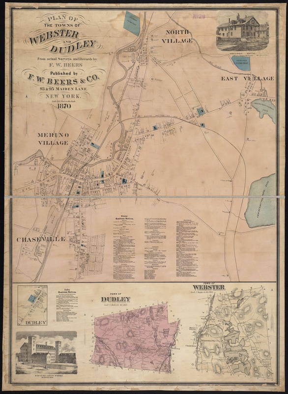
Plan of the towns of Webster and Dudley : from actual surveys and records
Item Information
- Title:
- Plan of the towns of Webster and Dudley : from actual surveys and records
- Creator:
- Beers, F. W. (Frederick W.)
- Name on Item:
-
by F.W. Beers.
- Date:
-
1870
- Format:
-
Maps/Atlases
- Location:
-
Boston Public Library
Norman B. Leventhal Map Center - Collection (local):
-
Norman B. Leventhal Map Center Collection
- Subjects:
-
Real property--Massachusetts--Webster--Maps
Real property--Massachusetts--Dudley (Town)--Maps
Landowners--Massachusetts--Webster--Maps
Landowners--Massachusetts--Dudley (Town)--Maps
Webster (Mass.)--Maps
Dudley (Mass. : Town)--Maps
- Places:
-
Worcester (county)Webster
Worcester (county)Dudley
- Extent:
- 3 maps on 1 sheet : col. ; 98 x 70 cm.
- Terms of Use:
-
No known copyright restrictions.
No known restrictions on use.
- Publisher:
-
New York :
F.W. Beers & Co.
- Scale:
-
Scales differ.
- Language:
-
English
- Notes:
-
Relief shown by hachures.
Includes business notices.
- Identifier:
-
06_01_005495
- Call #:
-
G3764.W36G46 1870 .B4x
- Barcode:
-
39999059014769


