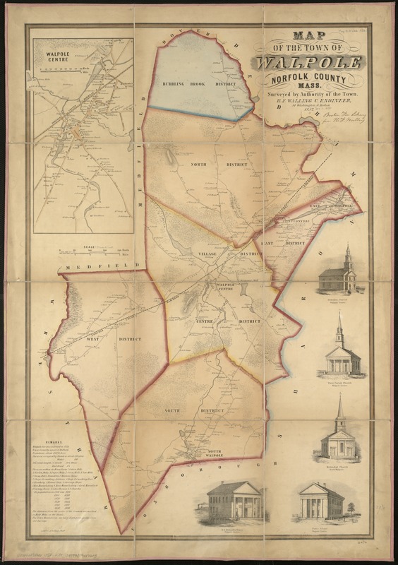
Map of the town of Walpole Norfolk County Mass : surveyed by authority of the town
Item Information
- Title:
- Map of the town of Walpole Norfolk County Mass : surveyed by authority of the town
- Creator:
- Walling, Henry Francis, 1825-1888
- Name on Item:
-
[by] H.F. Walling.
- Date:
-
1852
- Format:
-
Maps/Atlases
- Location:
-
Boston Public Library
Norman B. Leventhal Map Center - Collection (local):
-
Norman B. Leventhal Map Center Collection
- Subjects:
-
Landowners--Massachusetts--Walpole (Town)--Maps
Walpole (Mass. : Town)--Maps
- Places:
-
Norfolk (county)Walpole
- Extent:
- 1 map : col. ; 85 x 57 cm.
- Terms of Use:
-
No known copyright restrictions.
No known restrictions on use.
- Publisher:
-
Philadelphia :
A. Kollner
- Scale:
-
Scale 1:15,840.
- Language:
-
English
- Notes:
-
Relief shown by hachures.
Inset: Walpole center.
Includes five ill. of buildings.
- Identifier:
-
06_01_005482
- Call #:
-
G3764.W19G46 1852 .W3x
- Barcode:
-
39999059014603


