Map of the town of Pembroke in the county of Plymouth : from survey made in 1831
Item Information
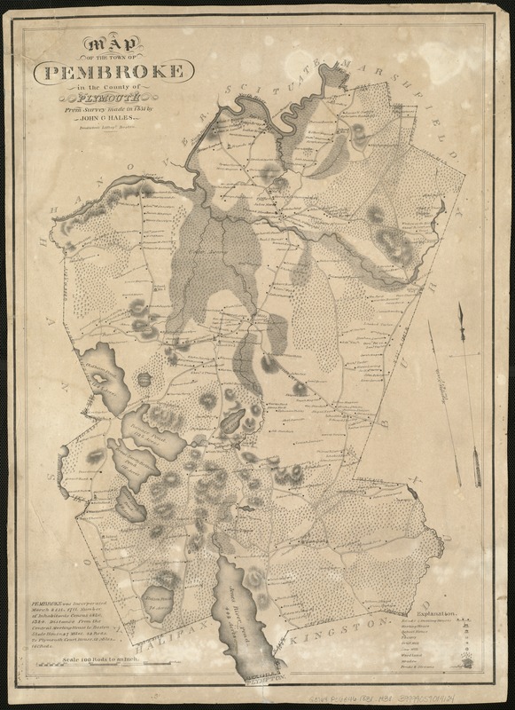
- Title:
- Map of the town of Pembroke in the county of Plymouth : from survey made in 1831
- Creator:
- Hales, John Groves
- Name on Item:
-
by John G. Hales.
- Date:
-
[1831]
- Format:
-
Maps/Atlases
- Location:
-
Boston Public Library
Norman B. Leventhal Map Center - Collection (local):
-
Norman B. Leventhal Map Center Collection
- Subjects:
-
Landowners--Massachusetts--Pembroke (Town)--Maps
Pembroke (Mass. : Town)--Maps
- Places:
-
MassachusettsPlymouth (county)Pembroke
- Extent:
- 1 map ; 61 X 42 cm.
- Terms of Use:
-
No known copyright restrictions.
No known restrictions on use.
- Publisher:
-
Boston :
Pendleton's Lith.
- Scale:
-
Scale 1:19,800.
- Language:
-
English
- Notes:
-
Relief shown by shading.
Oriented with north toward the upper left.
- Notes (date):
-
This date is inferred.
- Identifier:
-
06_01_005419
- Call #:
-
G3764.P36G46 1831 .H3x
- Barcode:
-
39999059014124


