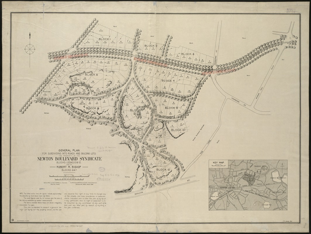
General plan for subdividing into roads and building lots, the property of the Newton Boulevard Syndicate, blocks 1, 2, 3, 4, 5, 10 & 12 : and of Robert R. Bishop, blocks 6 & 7
Item Information
- Title:
- General plan for subdividing into roads and building lots, the property of the Newton Boulevard Syndicate, blocks 1, 2, 3, 4, 5, 10 & 12 : and of Robert R. Bishop, blocks 6 & 7
- Creator:
- Rice, George S. (George Samuel), 1866-1950
- Artist:
- Jones, P. R.
- Name on Item:
-
Geo. S. Rice and Geo. E. Evans, civil eng. ; Olmsted, Olmsted and Eliot, landscape architects ; P.R. Jones del.
- Date:
-
1894
- Format:
-
Maps/Atlases
- Location:
-
Boston Public Library
Norman B. Leventhal Map Center - Collection (local):
-
Norman B. Leventhal Map Center Collection
- Subjects:
-
Real property--Massachusetts--Newton--Maps
Landowners--Massachusetts--Newton--Maps
Newton (Mass.)--Maps
- Places:
-
Middlesex (county)Newton
- Extent:
- 1 map ; 68 x 94 cm.
- Terms of Use:
-
No known copyright restrictions.
No known restrictions on use.
- Publisher:
-
Boston :
Geo. H. Walker & Co.
- Scale:
-
Scale 1:12,000.
- Language:
-
English
- Notes:
-
Relief shown by form lines and spot heights.
"Brookline, Mass. Feb. 1894."
- Identifier:
-
06_01_005417
- Call #:
-
G3764.N5G46 1894 .R6x
- Barcode:
-
39999059014108


