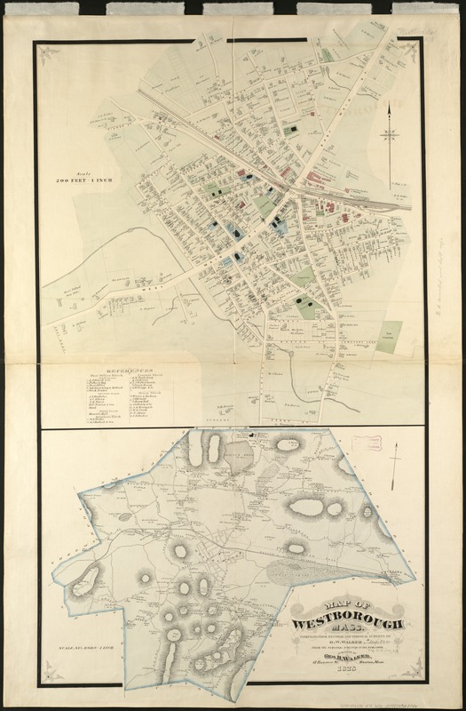
Map of Westborough Mass
Item Information
- Title:
- Map of Westborough Mass
- Creator:
- Walker, O. W. (Oscar W.)
- Name on Item:
-
compiled from records and personal surveys by O.W. Walker, under the personal direction of the publisher.
- Date:
-
1878
- Format:
-
Maps/Atlases
- Location:
-
Boston Public Library
Norman B. Leventhal Map Center - Collection (local):
-
Norman B. Leventhal Map Center Collection
- Subjects:
-
Real property--Massachusetts--Westborough--Maps
Landowners--Massachusetts--Westborough--Maps
Westborough (Mass.)--Maps
- Places:
-
Worcester (county)Westborough
- Extent:
- 2 maps on 1 sheet : col. ; on sheet 130 x 86 cm.
- Terms of Use:
-
No known copyright restrictions.
No known restrictions on use.
- Publisher:
-
Boston :
Geo. H. Walker & Co.
- Scale:
-
Scale 1:2,400.
Scale [1:16,500].
- Language:
-
English
- Notes:
-
Relief shown by hachures.
- Identifier:
-
06_01_005395
- Call #:
-
G3764.W56G46 1878 .W3x
- Barcode:
-
39999059013746


