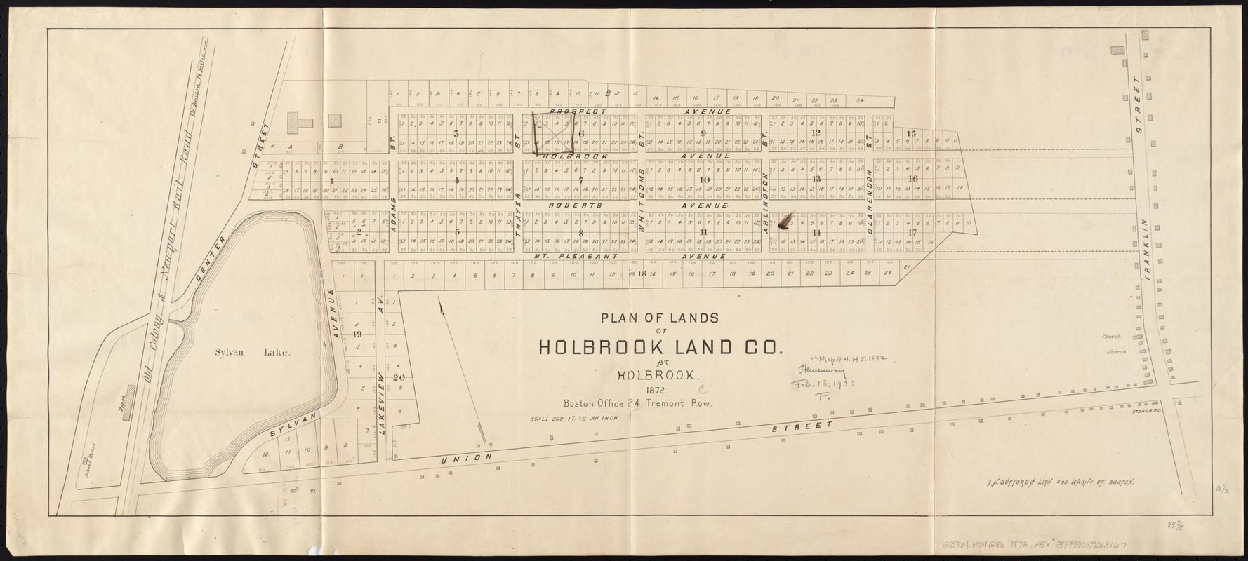
Plan of lands of Holbrook Land Co. at Holbrook 1872
Item Information
- Title:
- Plan of lands of Holbrook Land Co. at Holbrook 1872
- Date:
-
1872
- Format:
-
Maps/Atlases
- Location:
-
Boston Public Library
Norman B. Leventhal Map Center - Collection (local):
-
Norman B. Leventhal Map Center Collection
- Subjects:
-
Real property--Massachusetts--Holbrook--Maps
Holbrook (Mass.)--Maps
- Places:
-
Norfolk (county)Holbrook
- Extent:
- 1 plan ; 32 x 76 cm.
- Terms of Use:
-
No known copyright restrictions.
No known restrictions on use.
- Publisher:
-
Boston :
J.H. Bufford's Lith.
- Scale:
-
Scale 1:2,400.
- Language:
-
English
- Notes:
-
Oriented with north toward the upper left.
- Identifier:
-
06_01_005335
- Call #:
-
G3764.H64G46 1872 .P5x
- Barcode:
-
39999059013167


