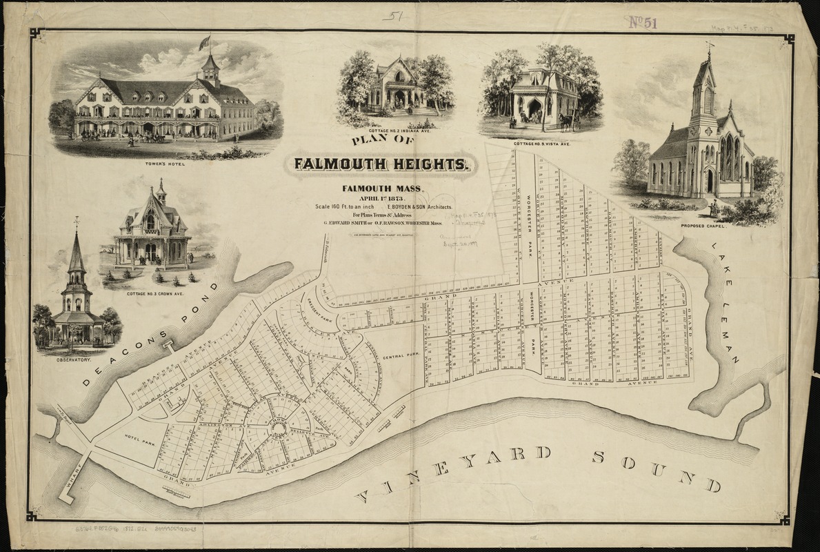
Plan of Falmouth Heights, Falmouth Mass., April 1st 1873
Item Information
- Title:
- Plan of Falmouth Heights, Falmouth Mass., April 1st 1873
- Creator:
- E. Boyden & Son
- Name on Item:
-
E. Boyden & Son.
- Date:
-
[1873]
- Format:
-
Maps/Atlases
- Location:
-
Boston Public Library
Norman B. Leventhal Map Center - Collection (local):
-
Norman B. Leventhal Map Center Collection
- Subjects:
-
Real property--Massachusetts--Falmouth Heights--Maps
Falmouth Heights (Mass.)--Maps
- Places:
-
Barnstable (county)FalmouthFalmouth Heights
- Extent:
- 1 map ; 54 x 84 cm.
- Terms of Use:
-
No known copyright restrictions.
No known restrictions on use.
- Publisher:
-
Boston :
J.H. Bufford's Lith.
- Scale:
-
Scale 1:1,920.
- Language:
-
English
- Notes:
-
Cadastral map showing lots and lot numbers.
Includes six ill. of buildings.
- Notes (date):
-
This date is inferred.
- Identifier:
-
06_01_005327
- Call #:
-
G3764.F352G46 1872 .E2x
- Barcode:
-
39999059013043
- LCCN:
-
2008624182


