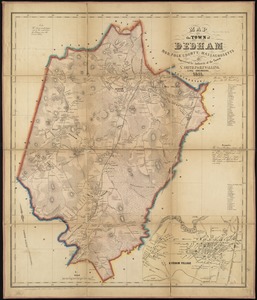
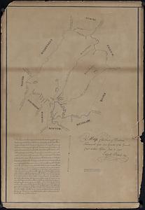
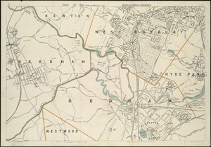
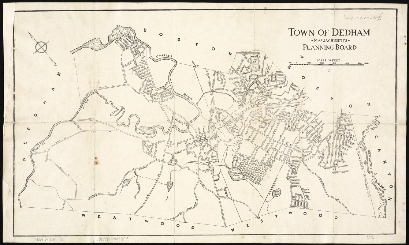
Town of Dedham Massachusetts
Item Information
- Title:
- Town of Dedham Massachusetts
- Creator:
- Massachusetts. State Planning Board
- Date:
-
[1880?–1889?]
- Format:
-
Maps/Atlases
- Location:
-
Boston Public Library
Norman B. Leventhal Map Center - Collection (local):
-
Norman B. Leventhal Map Center Collection
- Subjects:
-
Dedham (Mass.)--Maps
- Places:
-
Norfolk (county)Dedham
- Extent:
- 1 map ; 36 x 60 cm.
- Terms of Use:
-
No known copyright restrictions.
No known restrictions on use.
- Publisher:
-
S.l :
s.n.
- Scale:
-
Scale 1:15,360.
- Language:
-
English
- Notes:
-
Oriented with north toward the upper left.
- Identifier:
-
06_01_005323
- Call #:
-
G3764.D4 1880 .T6x
- Barcode:
-
39999059012979