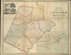
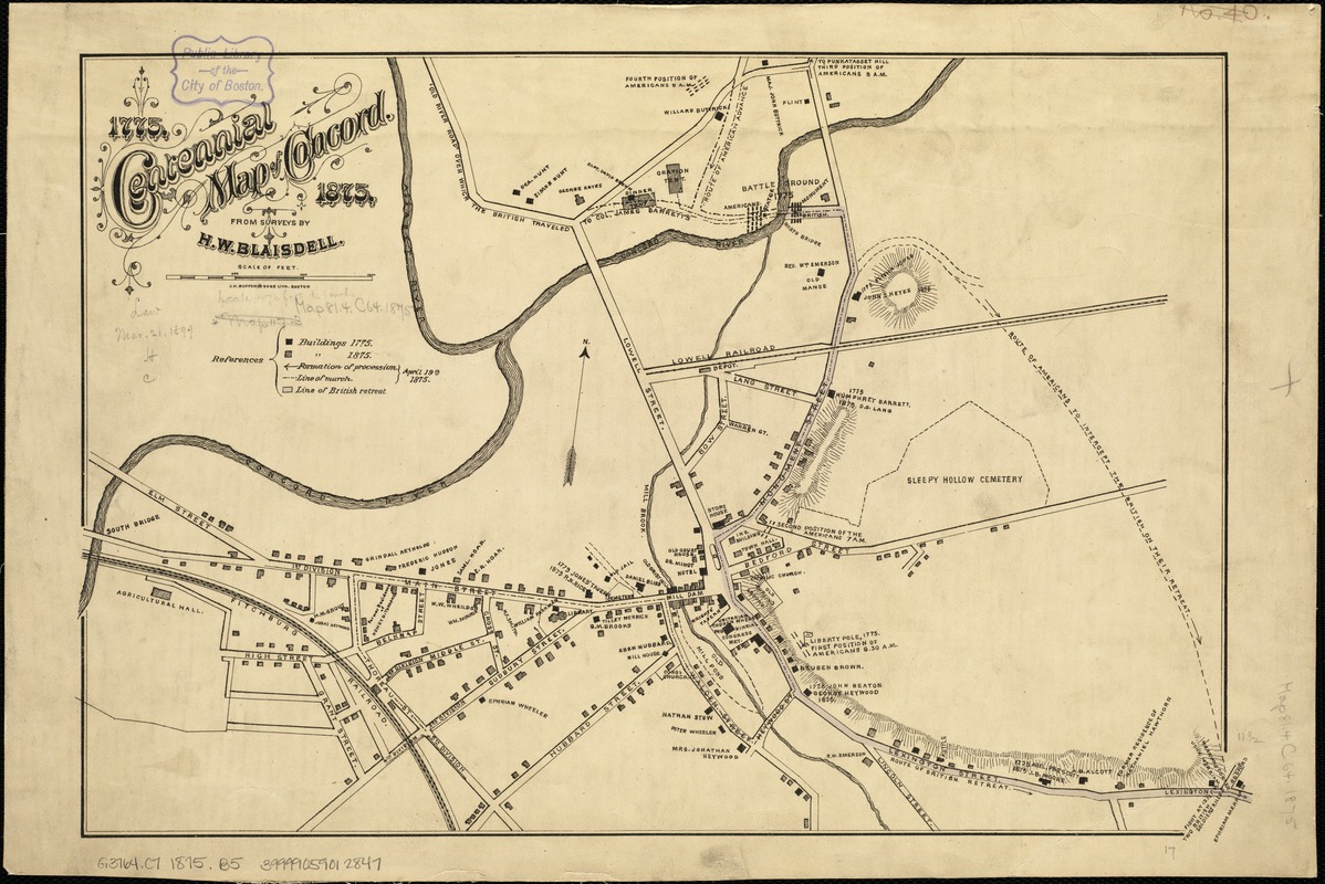
Centennial map of Concord, 1775-1875
Item Information
- Title:
- Centennial map of Concord, 1775-1875
- Creator:
- Blaisdell, H. W.
- Name on Item:
-
from surveys by H.W. Blaisdell.
- Date:
-
[1875]
- Format:
-
Maps/Atlases
- Location:
-
Boston Public Library
Norman B. Leventhal Map Center - Collection (local):
-
Norman B. Leventhal Map Center Collection
- Subjects:
-
Concord, Battle of, Concord, Mass., 1775--Maps
Landowners--Massachusetts--Concord--Maps
Real property--Massachusetts--Concord--Maps
Concord (Mass.)--Maps
Massachusetts--History--Revolution, 1775-1783--Maps
United States--History--Revolution, 1775-1783--Maps
- Places:
-
Middlesex (county)Concord
- Extent:
- 1 map : hand col. ; 30 X 44 cm.
- Terms of Use:
-
No known copyright restrictions.
No known restrictions on use.
- Publisher:
-
Boston :
J.H. Bufford's Sons Lith.
- Scale:
-
Scale [ca. 1:6,000].
- Language:
-
English
- Notes:
-
Oriented with north to the upper right.
Relief shown by hachures.
Shows locations of structures in 1775 and 1875 and gives names of landowners.
- Notes (date):
-
This date is inferred.
- Identifier:
-
06_01_005312
- Call #:
-
G3764.C7 1875 .B5
- Barcode:
-
39999059012847