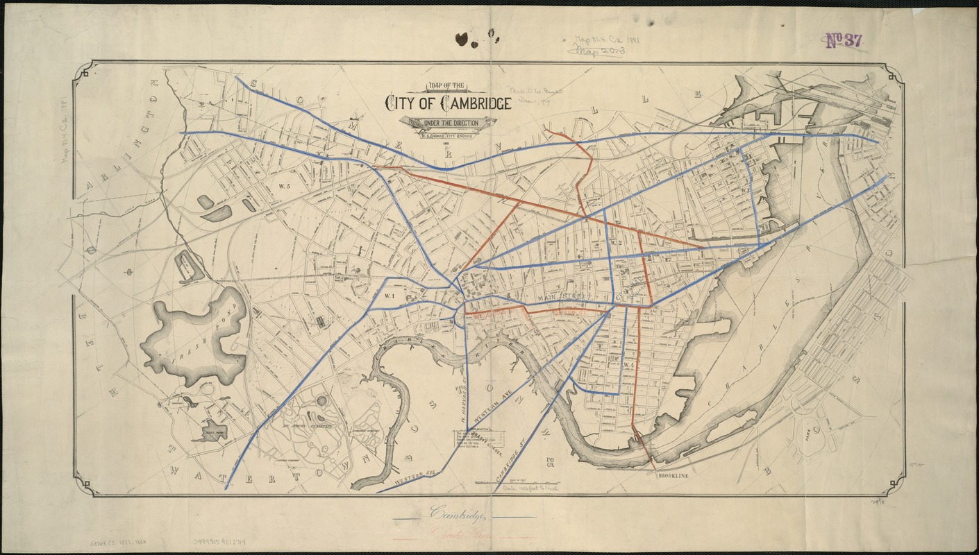
Map of the city of Cambridge
Item Information
- Title:
- Map of the city of Cambridge
- Creator:
- Hastings, Lewis M.
- Name on Item:
-
prepared under the direction of W.S. Barbour, city engineer ; L.M. Hastings, del.
- Date:
-
1881
- Format:
-
Maps/Atlases
- Location:
-
Boston Public Library
Norman B. Leventhal Map Center - Collection (local):
-
Norman B. Leventhal Map Center Collection
- Subjects:
-
Cambridge (Mass.)--Maps
- Places:
-
Middlesex (county)Cambridge
- Extent:
- 1 map ; 40 x 79 cm.
- Terms of Use:
-
No known copyright restrictions.
No known restrictions on use.
- Publisher:
-
S.l :
[s.n.]
- Scale:
-
Scale [ca. 1:11,500].
- Language:
-
English
- Notes:
-
Relief shown by contours.
Oriented with north toward the upper left.
Shows fire alarm boxes and strikers, city wards and lines, street railways, some buildings, and radial distances from City Hall.
- Identifier:
-
06_01_005305
- Call #:
-
G3764.C2 1881 .H3x
- Barcode:
-
39999059012714


