Vineyard Sound and Buzzards Bay, Massachusetts
Item Information
- Title:
- Vineyard Sound and Buzzards Bay, Massachusetts
- Title (alt.):
-
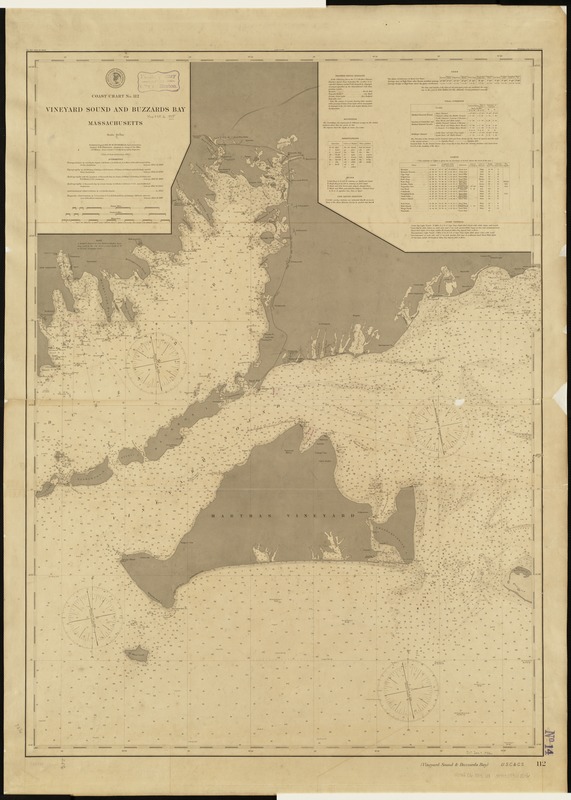
Coast chart no. 112 Vineyard Sound and Buzzards Bay, Massachusetts
- Creator:
- U.S. Coast and Geodetic Survey
- Date:
-
1895
- Format:
-
Maps/Atlases
- Location:
-
Boston Public Library
Norman B. Leventhal Map Center - Collection (local):
-
Norman B. Leventhal Map Center Collection
- Subjects:
-
Nautical charts--Massachusetts--Buzzards Bay
Nautical charts--Massachusetts--Vineyard Sound
Vineyard Sound (Mass.)--Maps
Buzzards Bay (Mass. : Bay)--Maps
- Places:
-
MassachusettsBuzzards Bay
Vineyard Sound
- Extent:
- 1 map ; 93 x 67 cm.
- Terms of Use:
-
No known copyright restrictions.
No known restrictions on use.
- Publisher:
-
Washington :
[U.S. Coast and Geodetic Survey]
- Scale:
-
Scale 1:80,000.
- Language:
-
English
- Notes:
-
Relief shown by shading.
Depths shown by soundings.
Date of first publication 1860.
Includes information on weather, signal stations, soundings, buoys, life saving stations, tide, tidal currents, lights, and light vessels.
"Published August 1895, W.W. Duffield, Superintendent. Verified: O.H. Tittmann."
- Identifier:
-
06_01_005166
- Call #:
-
G3701.P5 svar .U5 no. 112 1895
- Barcode:
-
39999059010056


